We are in the process of migrating all NASA Earth science data sites into Earthdata from now until end of 2026. Not all NASA Earth science data and resources will appear here until then. Thank you for your patience as we make this transition.
Read about the Web Unification Project
NOAA-21 Resources
NOAA-21 Documents
| Name Sort descending | Description | File Type | Date Published | |
|---|---|---|---|---|
| Discover and Access NASA's Near Real-Time Global Flood Products | This presentation provides an introduction to NASA's near real-time global flood products available through NASA's Land, Atmosphere Near real-time Capability for Earth observation. Information about how to discover, access, and use these NRT products is also provided. | PDF (16.77 mb) | Sept. 17, 2025 |
NOAA-21 Learning Resources
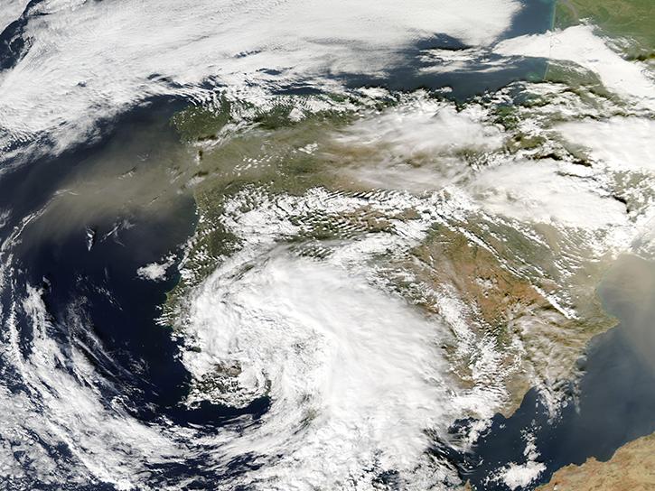
Join us for an overview of NASA's LAADS DAAC, its Level-1 and atmospheric data products, and to explore different options to search, discover, and acquire the data.
Webinar
Oct. 25, 2021
Esta capacitación de ARSET cubre similitudes y diferencias entre MODIS y VIIRS para monitoreo de calidad del agua.
Training
Sept. 14-21, 2021
This ARSET training provides an overview of the similarities and differences between MODIS and VIIRS for water quality monitoring.
Training
Sept. 14-21, 2021
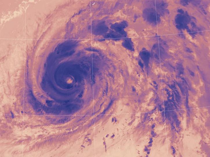
LANCE near real-time products enable the management of ongoing events; standard data products are heavily processed and intended for scientific research.
Data Basics
July 15, 2021
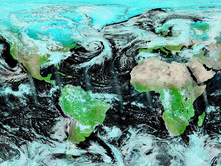
Join us to learn how to use NASA’s Worldview, an imagery mapping and visualization tool that provides access to over 900 data imagery layers, many of which are available within hours, even minutes, to explore Earth’s interconnected processes and events.
Webinar
May 26, 2021
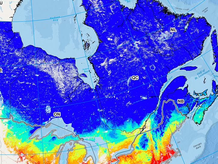
Read highlights of three publications that detail how NASA Earth observation data informs forest structure mapping, disease vector tracking, and mineral identification.
Data in Action
April 26, 2021
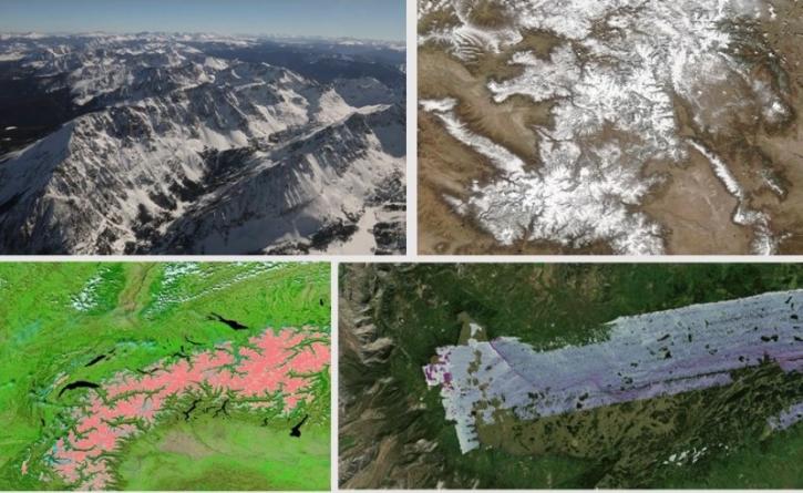
During this webinar we will introduce several of the NSIDC DAAC snow-focused NASA missions and data products, followed by a live demonstration teaching participants how to discover, access, and couple snow data across varying geospatial scales using Python.
Webinar
Nov. 4, 2020
This ARSET training covers how to access VIIRS data products, the differences between VIIRS and MODIS, and its air quality applications.
Training
Oct. 22, 2020
SHOWING 8 OF 29
NOAA-21 News
View All News
Filters
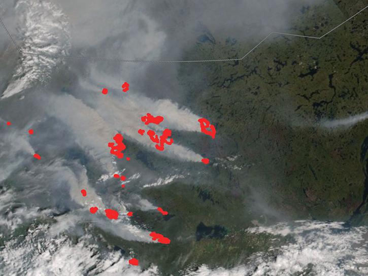
In early July 2026, several wildland fires sent smoke plumes across parts of Canada's Northwest Territories.
Worldview Image of the Week
July 10, 2026

The VIIRS instrument aboard NOAA-21 acquired data for a time-lapse animation of the fire in this national park.
Worldview Image of the Week
May 22, 2026
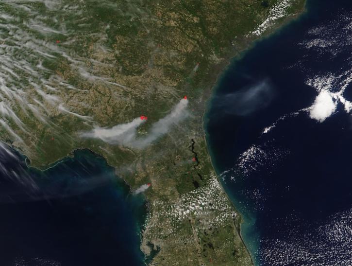
The VIIRS instrument aboard the NOAA-21 platform captured this image on April 21, 2026.
Worldview Image of the Week
April 24, 2026

Data overlays from Worldview show precipitation rates and sea surface temperatures in mid-April 2026, as the storm moved across the western Pacific.
Worldview Image of the Week
April 17, 2026

NASA significantly enhanced its MODIS and VIIRS near real-time flood products, enabling users to distinguish between unusual and recurring flooding.
Blog
April 10, 2026

The VIIRS instrument aboard the NOAA-21 platform captured this image on March 19, 2026.
Worldview Image of the Week
March 19, 2026

The VIIRS instrument aboard the NOAA-21 platform captured this image on March 10, 2026.
Worldview Image of the Week
March 13, 2026

Base image, overlaid with flood information captured on December 23, 2025, by the VIIRS instrument aboard the NOAA-20 platform.
Worldview Image of the Week
Dec. 26, 2025
SHOWING 8 OF 74
Frequently Asked Questions
Earthdata Forum
Our online forum provides a space for users to browse thousands of FAQs about research needs, data, and data applications. You can also submit new questions for our experts to answer.
Submit Questions to Earthdata Forumand View Expert Responses