We are in the process of migrating all NASA Earth science data sites into Earthdata from now until end of 2026. Not all NASA Earth science data and resources will appear here until then. Thank you for your patience as we make this transition.
Read about the Web Unification Project
Landsat 4 Resources
Table of contents
Landsat 4 Learning Resources
This ARSET training provides hands-on exercises to measure urban heat islands and construct heat vulnerability indices.
Training
Aug. 2-11, 2022
SHOWING 1 OF 1
Landsat 4 News
View All News
Filters
A summary of datasets, products, and resources released by NASA’s Distributed Active Archive Centers (DAACs) in September 2024.
News
Oct. 3, 2024
Launched September 27, Landsat 9 will provide a high-quality and reliable stream of land imaging data for the next 10-plus years.
Feature Article
Jan. 31, 2022
Data available from NASA’s LP DAAC helps scientists like Dr. Robert Wright develop systems for autonomously detecting volcanic eruptions from space.
Data User Story
Oct. 20, 2021
Dr. Bernard Hubbard uses NASA Earth science data to help locate mineral resources and assess natural hazards.
Data User Story
April 22, 2021
Who uses NASA Earth science data? Dr. Nancy French, to study the effects of wildfires on forest ecosystems.
Data User Story
Dec. 22, 2020
Who uses NASA Earth science data? Dr. Anne Nolin, to study mountain ecosystems.
Data User Story
Dec. 22, 2020
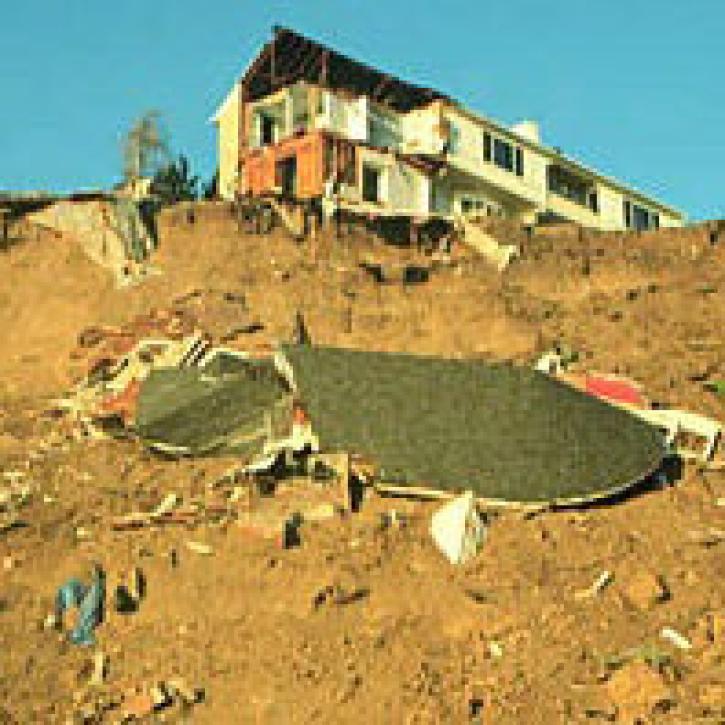
Summer of 2001 was a season of devastating landslides.
Feature Article
July 28, 2020
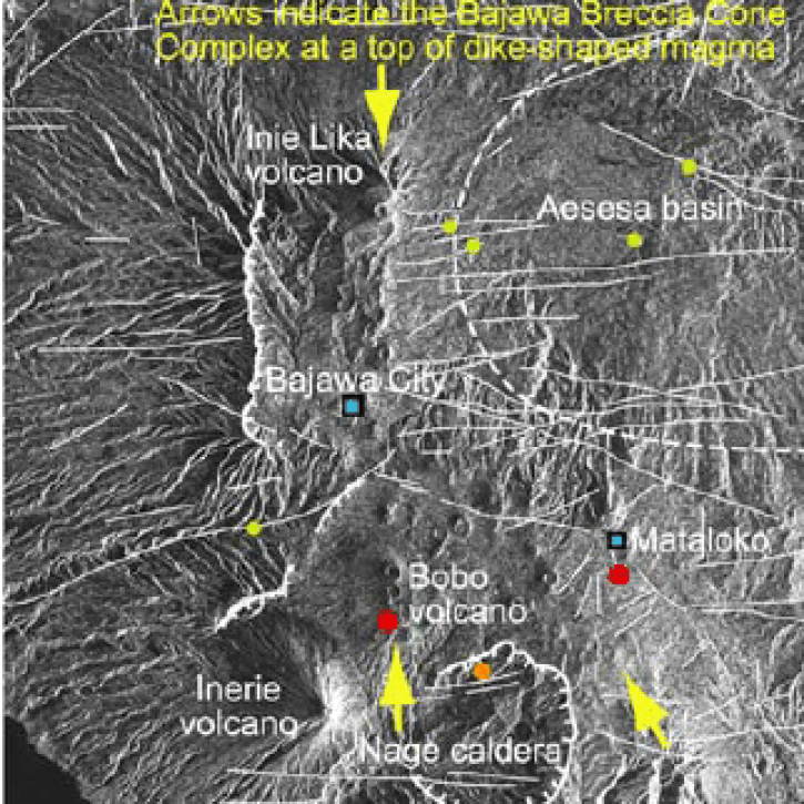
Synthetic Aperture Radar aboard the JERS-1 satellite collects data from the world's tropical forests.
Feature Article
July 22, 2020
SHOWING 8 OF 8
Frequently Asked Questions
Earthdata Forum
Our online forum provides a space for users to browse thousands of FAQs about research needs, data, and data applications. You can also submit new questions for our experts to answer.
Submit Questions to Earthdata Forumand View Expert Responses


