We are in the process of migrating all NASA Earth science data sites into Earthdata from now until end of 2026. Not all NASA Earth science data and resources will appear here until then. Thank you for your patience as we make this transition.
Read about the Web Unification Project

Landsat 4 was launched with the Multispectral Scanner (MSS) and a new advanced imaging sensor, Thematic Mapper (TM).
19 datasets

Landsat 5 transmitted over 2.5 million images of Earth over the course of 28 years.
115 datasets

Landsat 7 marked history when data from the satellite became free to the global public.
95 datasets

Landsat 8 launched with two new instruments, Operational Land Imager (OLI) and the Thermal Infrared Sensor (TIRS)
89 datasets

Landsat 9 carries the same instruments as Landsat 8: Operational Land Imager 2 (OLI-2) and Thermal Infrared Sensor 2 (TIRS-2)
15 datasets

The Meteor-3M satellite mission is a joint partnership between NASA and the Russian Aviation and Space Agency (RASA).

Nimbus-7 collected data on pollution and oceanographic and meteorological disciplines.
80 datasets
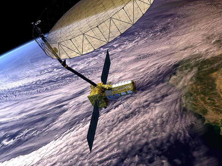
The NASA/ISRO SAR (NISAR) platform creates maps to provide a better understanding of changes in Earth’s ecosystems, ice mass, vegetation biomass, sea level, groundwater, and natural hazards.
64 datasets
SHOWING 8 OF 59