We are in the process of migrating all NASA Earth science data sites into Earthdata from now until end of 2026. Not all NASA Earth science data and resources will appear here until then. Thank you for your patience as we make this transition.
Read about the Web Unification Project
VIIRS Resources
Earthdata resources for users working with NASA’s Visible Infrared Imaging Radiometer Suite (VIIRS) data include tutorials and other learning resources, news announcements such as instrument updates and data releases, user guides and related documents, and frequently asked questions.
VIIRS Learning Resources

This ARSET training addresses how to use remote sensing data for agriculture monitoring, specifically drought and crop monitoring.
Training
April 14 - May 5, 2020

In Spring 2019 DEVELOP researchers used VIIRS and other instrument data to create models that provide fine details on drought conditions in Iowa.
Data in Action
April 13, 2020

During this webinar we will provide answers to commonly asked questions about NASA land processes data, services and tools, and show you how to navigate the new LP DAAC website to discover data resources.
Webinar
Jan. 15, 2020

Explore how NASA remote sensing data and satellite imagery are used to monitor the evolution of fires.
Data in Action
Dec. 2, 2019

Learn to use the Application for Extracting and Exploring Analysis Ready Samples (AppEEARS) tool with various fire, temperature, precipitation, and vegetation data.
Webinar
Oct. 25, 2019
Learn how to access and use VIIRS/Suomi-NPP data products.
Tutorial
Oct. 2, 2018

This ARSET training covers the NASA data and tools useful for monitoring tropical storms.
Training
May 3-10, 2018

Discover how remote sensing data support water monitoring, wildfire risk modeling, and identification of optimal rainwater harvesting locations.
Data in Action
April 25, 2018
SHOWING 8 OF 73

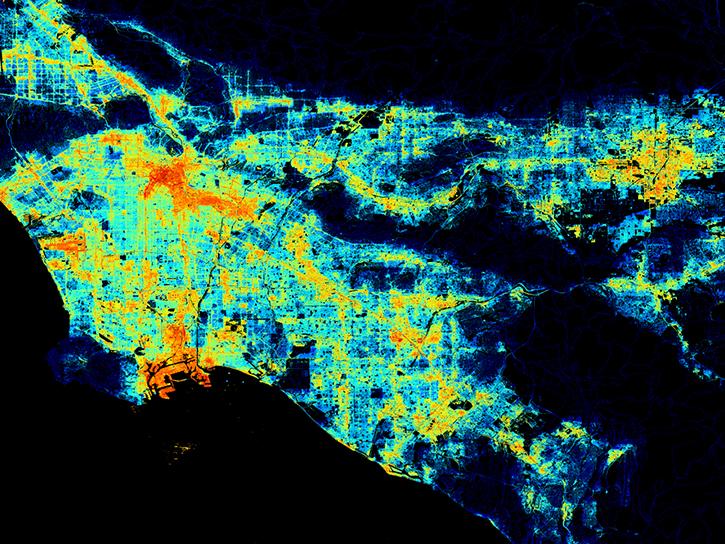
Who uses NASA Earth science data? Dr. Karen Seto, to study the environmental effects of urbanization.
Data User Story
April 22, 2021

Who uses NASA Earth science data? Dr. Sergio Signorini, to study the impact of climate variability on phytoplankton and Earth’s oceans.
Data User Story
April 22, 2021

Who uses NASA Earth science data? Dr. Emily Berndt, to improve short-term forecasts of high-impact weather.
Data User Story
April 22, 2021

Ocean color data provide key information about ocean health. Dr. Barnes uses these data in his investigations into the health of optically shallow waters.
Data User Story
April 22, 2021
SHOWING 4 OF 387
Frequently Asked Questions
Earthdata Forum
Our online forum provides a space for users to browse thousands of FAQs about research needs, data, and data applications. You can also submit new questions for our experts to answer.
Submit Questions to Earthdata Forumand View Expert Responses