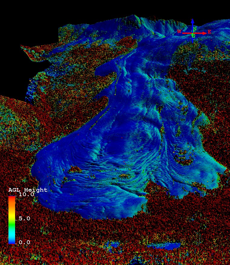
The University of Alaska Fairbanks Lidar Scanner (UAF Scanner) is a compact scanning laser altimeter that can fly on smaller aircraft. It was used in NASA's Operation IceBridge campaign. This laser altimeter collects 10,000 data points per second and has a scan angle of 30º to either side from straight down, which gives a scanning swath width roughly equal to aircraft height. This instrument is flown at a maximum of 1,500 feet, though lower and slower flights can yield higher density swaths.
Delivery of Suomi National Polar-orbiting Partnership (Suomi NPP) satellite data products will cease on November 1, 2026. Data users should transition now to alternative products from NOAA-21 and NOAA-20.
Suomi NPP data announcement