We are in the process of migrating all NASA Earth science data sites into Earthdata from now until end of 2026. Not all NASA Earth science data and resources will appear here until then. Thank you for your patience as we make this transition.
Read about the Web Unification Project
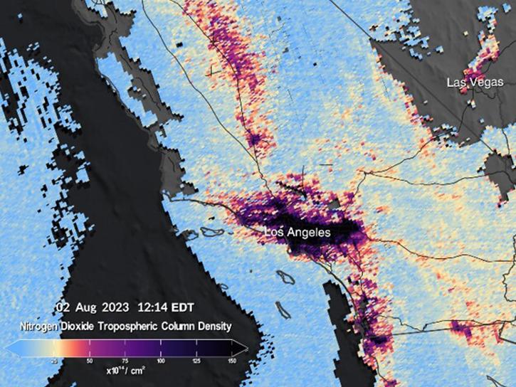
TEMPO Resources
Earthdata resources for users working with NASA’s Tropospheric Emissions: Monitoring Pollution (TEMPO) data include tutorials and other learning resources, news announcements such as instrument updates and data releases, user guides and related documents, and frequently asked questions.
TEMPO Learning Resources

Our Earth Data Officer, Katie Baynes, spoke at the Federal GIS Conference Plenary. In case you missed her presentation, here is a story map for you to catch up on how NASA Earth data can be leveraged in your GIS project.
StoryMap
March 5, 2025

Due to unforeseen circumstances, this webinar is postponed and will be rescheduled soon. We apologize for the short notice and appreciate your continued interest and support. We look forward to your attendance at our rescheduled webinar, to be announced.
Webinar
June 26, 2024

This webinar provides an overview of the TEMPO mission and its data products and shows how to discover and access TEMPO data products using NASA's Earthdata Search.
Webinar
May 2, 2024
The TEMPO instrument, a cutting-edge venture by NASA, stands at the forefront of Earth observation technology for hourly AQ Observations.
StoryMap
Oct. 29, 2023

This ARSET training provides an overview of geostationary capabilities for monitoring air quality around the world.
Training
Oct. 11-25, 2022
SHOWING 5 OF 13
More than a dozen Level 1, 2, and 3 data products from NASA's Tropospheric Emissions: Monitoring of Pollution (TEMPO) Version 03 collection are now available at provisional maturity.
News
Dec. 16, 2024

Image captured on Dec 10, 2024, by the TEMPO instrument aboard the Intesat-40e platform.
Worldview Image of the Week
Dec. 12, 2024

To celebrate GIS Day, take a peek at these illuminating examples of NASA Earth Science leveraging Geographic Information Systems (GIS) to understand our home planet.
News
Nov. 20, 2024

Assessment of the 2022 Satellite Needs Working Group (SNWG) survey identified six science activities to address U.S. Federal civilian agency satellite needs.
News
July 18, 2024
SHOWING 4 OF 21
Frequently Asked Questions
Earthdata Forum
Our online forum provides a space for users to browse thousands of FAQs about research needs, data, and data applications. You can also submit new questions for our experts to answer.
Submit Questions to Earthdata Forumand View Expert Responses