We are in the process of migrating all NASA Earth science data sites into Earthdata from now until end of 2026. Not all NASA Earth science data and resources will appear here until then. Thank you for your patience as we make this transition.
Read about the Web Unification Project
SMAP L-Band Radar Resources
Earthdata resources for users working with NASA’s Soil Moisture Active Passive (SMAP) L-Band Radar data include tutorials and other learning resources, news announcements such as instrument updates and data releases, user guides and related documents, and frequently asked questions.
SMAP L-Band Radar Learning Resources

This ARSET training focuses on regional and global observation resources for conservation management.
Training
May 5 - June 2, 2015
SHOWING 1 OF 9
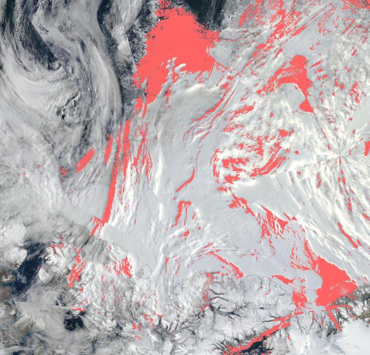
View a list of the layers that now show previously hidden pixel classifications.
Blog
Sept. 12, 2023

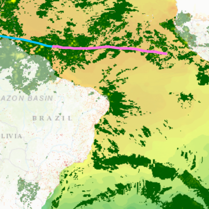
Terrestrial Ecology Subsetting and Visualization Services (TESViS) supports ecological field research in easy-to-use formats.
Feature Article
June 30, 2023
The app enables users to overlay multiple data layers, including precipitation, storm track, and sea surface temperature.
News
Aug. 24, 2022

NASA's SMAP team turns raw satellite data into more than a dozen data products for data users around the world.
Feature Article
Nov. 4, 2020
SHOWING 4 OF 16
Frequently Asked Questions
Earthdata Forum
Our online forum provides a space for users to browse thousands of FAQs about research needs, data, and data applications. You can also submit new questions for our experts to answer.
Submit Questions to Earthdata Forumand View Expert Responses