We are in the process of migrating all NASA Earth science data sites into Earthdata from now until end of 2026. Not all NASA Earth science data and resources will appear here until then. Thank you for your patience as we make this transition.
Read about the Web Unification Project
Sentinel-2 MSI Resources
Earthdata resources for users working with NASA’s Multispectral Instrument include tutorials and other learning resources, news announcements such as instrument updates and data releases, user guides and related documents, and frequently asked questions.

NASA researchers are tweaking algorithms and combining data from multiple satellites to track tropical forest fires in Brazil.
Feature Article
Feb. 1, 2024
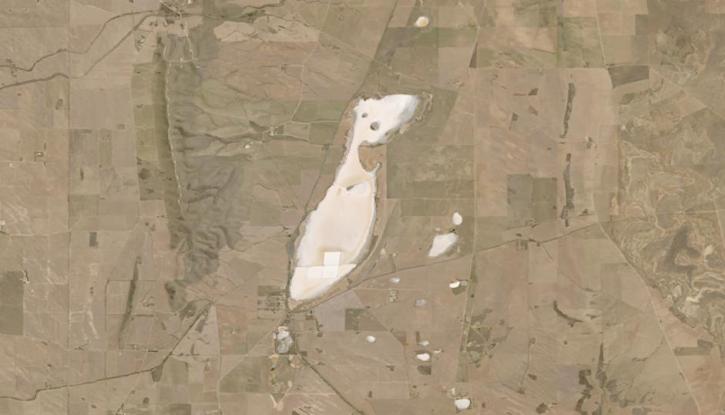
Image captured on Jan 20, 2024, by the OLI and OLI-2 instruments aboard the NASA/USGS Landsat 8 and 9 satellites.
Worldview Image of the Week
Jan. 25, 2024
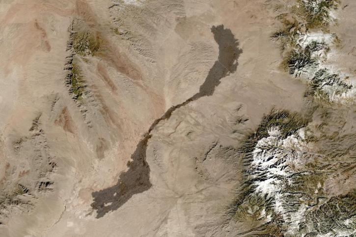
Image captured on Jan 13, 2024, by the MSI instrument aboard the ESA (European Space Agency) Sentinel-2A satellite.
Worldview Image of the Week
Jan. 18, 2024
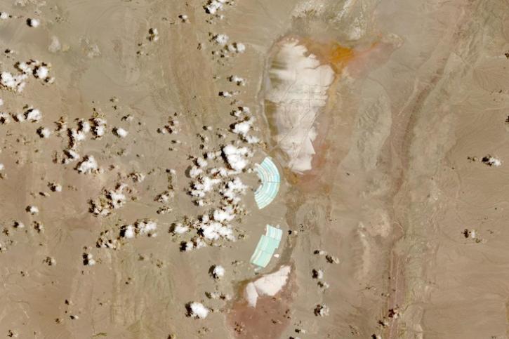
Image captured on Dec 31, 2023, by the MSI instrument aboard the ESA (European Space Agency) Sentinel-2A satellite.
Worldview Image of the Week
Jan. 4, 2024
SHOWING 4 OF 57
Frequently Asked Questions
Earthdata Forum
Our online forum provides a space for users to browse thousands of FAQs about research needs, data, and data applications. You can also submit new questions for our experts to answer.
Submit Questions to Earthdata Forumand View Expert Responses