We are in the process of migrating all NASA Earth science data sites into Earthdata from now until end of 2026. Not all NASA Earth science data and resources will appear here until then. Thank you for your patience as we make this transition.
Read about the Web Unification Project
Sentinel-2 MSI Resources
Earthdata resources for users working with NASA’s Multispectral Instrument include tutorials and other learning resources, news announcements such as instrument updates and data releases, user guides and related documents, and frequently asked questions.
Sentinel-2 MSI Learning Resources

This ARSET training describes data format and quality considerations, tools, and techniques to process imagery at large scale from publicly available sources.
Training
March 5-19, 2024

This ARSET training provides an overview and demonstration of the latest version of SeaDAS 8.4.1, which is useful for remote sensing of water quality.
Training
Feb. 13, 2024

This training provides an overview of spectral indices for land and aquatic applications.
Training
Oct. 26 - Nov. 9, 2023

This ARSET training covers the basics of natural hazard risk modeling and exposure development.
Training
Oct. 3-10, 2023
Esta capacitación de ARSET cubre los fundamentos de la modelación de riesgo de amenazas naturales y desarrollo de exposición.
Training
Oct. 3-10, 2023

Learn how to use NASA's Fire Information for Resource Management System (FIRMS) and its enhanced User Interface that provides additional services and analysis capabilities for wildfire management.
Webinar
Sept. 29, 2023

This ARSET training focuses on using remote sensing observations for assessing water quality parameters in inland lakes.
Training
July 18-25, 2023

This advanced-level training focuses on using remote sensing observations for monitoring post-fire impacts on watershed health.
Training
July 6-13, 2023
SHOWING 8 OF 63

Based on NASA's Harmonized Landsat Sentinel-2 (HLS) data, the artificial intelligence (AI) foundation model is a milestone in the application of AI for Earth science.
News
Aug. 3, 2023

New surface water extent and surface disturbance products from a NASA effort are providing needed resources to federal agencies.
Feature Article
June 15, 2023

The release of the HLS codebase gives product users greater visibility into the project’s image processing pipeline.
News
May 19, 2023
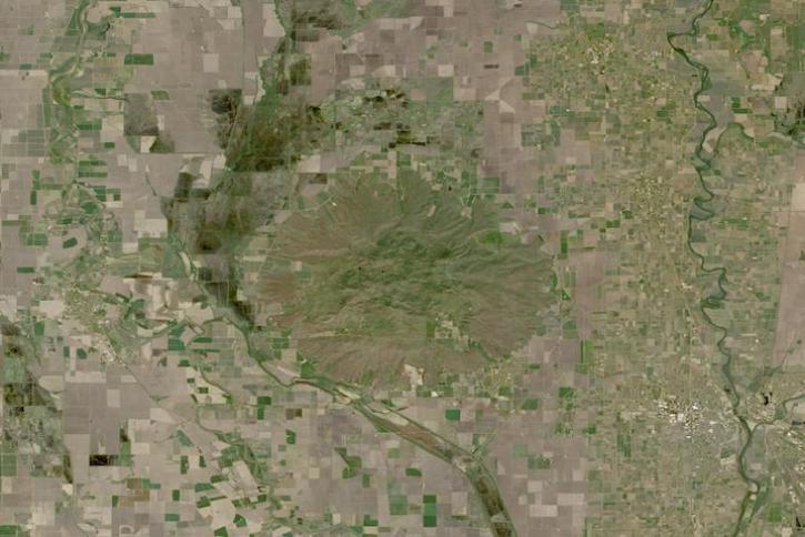
Image captured on Apr 24, 2023, by the MSI instrument aboard the ESA (European Space Agency) Sentinel-2A and -2B satellites.
Worldview Image of the Week
April 27, 2023
SHOWING 4 OF 66
Frequently Asked Questions
Earthdata Forum
Our online forum provides a space for users to browse thousands of FAQs about research needs, data, and data applications. You can also submit new questions for our experts to answer.
Submit Questions to Earthdata Forumand View Expert Responses