We are in the process of migrating all NASA Earth science data sites into Earthdata from now until end of 2026. Not all NASA Earth science data and resources will appear here until then. Thank you for your patience as we make this transition.
Read about the Web Unification Project
Sentinel-2 MSI Resources
Earthdata resources for users working with NASA’s Multispectral Instrument include tutorials and other learning resources, news announcements such as instrument updates and data releases, user guides and related documents, and frequently asked questions.
Sentinel-2 MSI Learning Resources

Find, download, and subset HLS data from a command line executable.
External Resource
GitHub Repository
April 16, 2025

Find and download HLS data.
External Resource
GitHub Repository
May 1, 2024

Tutorial demonstrating how to search for, access, and process HLS data in R.
External Resource
GitHub Repository

Join us on Thursday, May 29, to learn about the NASA JPL OPERA Surface Displacement (OPERA-DISP) dataset and how to access and explore the data using ASF DAAC's Displacement Portal.
Webinar
May 14, 2025
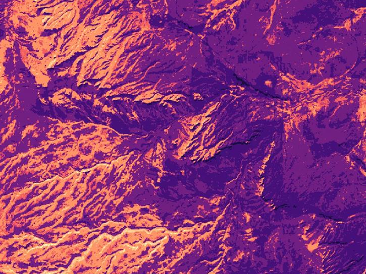
This ARSET training teaches participants how satellite-based Earth observations can inform landslide science and disaster planning.
Training
March 11-18, 2025

Worldview has added an “Available Imagery Dates” selector to help users find Harmonized Landsat and Sentinel-2 (HLS) imagery for their area of interest.
Tutorial
Feb. 25, 2025
Satellite Needs Working Group (SNWG) solutions, such as Harmonized Landsat and Sentinel-2 (HLS), assist agencies with their existing workflows and decision-making processes by creating actionable science.
Data in Action
Oct. 3, 2024

This ARSET training focuses on flood risk, heat stress, and drought effects on agricultural landscapes in refugee settings.
Training
June 6-20, 2024
SHOWING 8 OF 63

The provisional public release of the Harmonized Landsat Sentinel-2 (HLS) dataset through NASA’s LP DAAC opens new avenues for global terrestrial research.
Feature Article
April 12, 2021
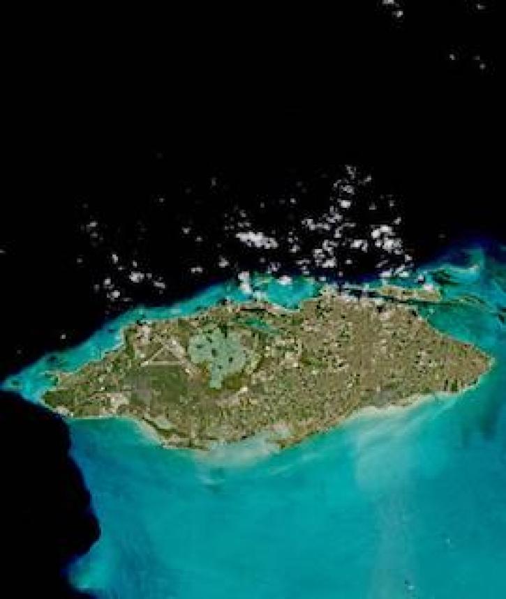
Image captured on 18 March 2021, by the MSI instrument, aboard ESA's Sentinel 2A and 2B satellites.
Worldview Image of the Week
March 29, 2021
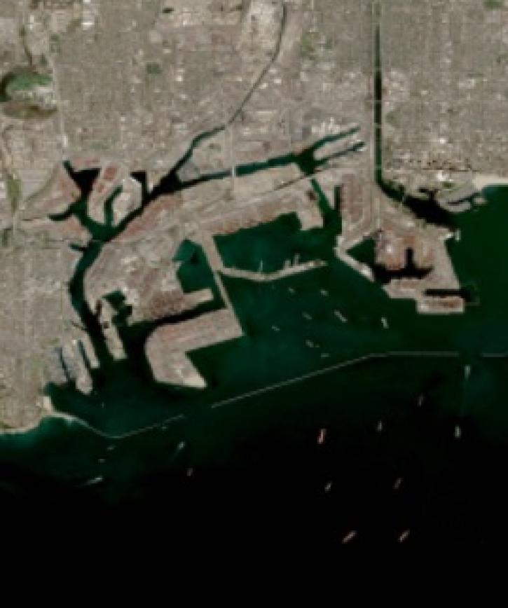
Image captured on 17 February 2021, by the MSI instrument, aboard ESA's Sentinel 2A and 2B satellites.
Worldview Image of the Week
March 1, 2021

Invasive species cost the U.S. economy approximately $120 billion a year and disrupt the dynamics of ecosystems. Researchers are increasingly using remote sensing to map where invasive species are and where they could spread in order to minimize their damage.
Feature Article
Feb. 25, 2021
SHOWING 4 OF 66
Frequently Asked Questions
Earthdata Forum
Our online forum provides a space for users to browse thousands of FAQs about research needs, data, and data applications. You can also submit new questions for our experts to answer.
Submit Questions to Earthdata Forumand View Expert Responses