OMPS Resources

Earthdata resources for users working with NASA’s Ozone Mapping and Profiler Suite (OMPS) include tutorials and other learning resources, news announcements such as instrument updates and data releases, user guides and related documents, and frequently asked questions.

OMPS Learning Resources

Filters
SHOWING 4 OF 4

OMPS News

Filters
A satellite captured multiple ways of viewing the ash and sulfur dioxide emissions in early September 2026.
Worldview Image of the Week
Sept. 11, 2026
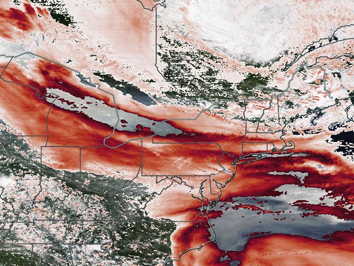
Satellite sensors captured views of smoky clouds extending thousands of miles and darkening skies across middle and eastern portions of North America.
Worldview Image of the Week
July 17, 2026
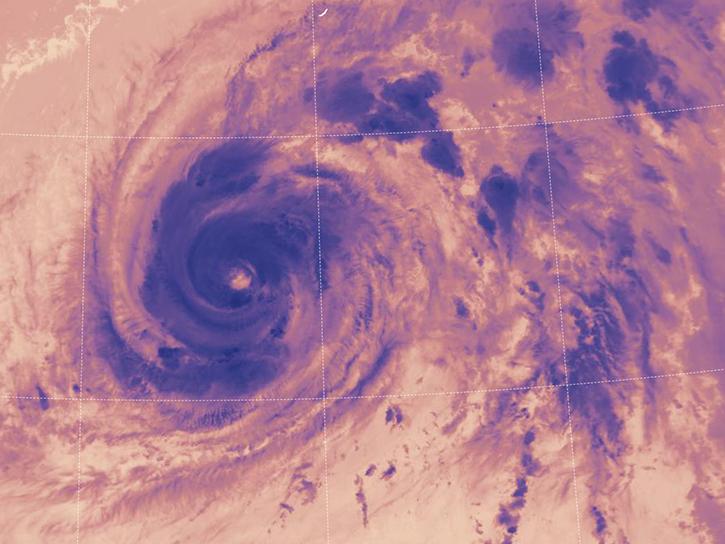
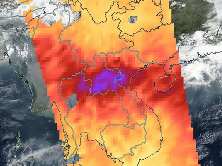
Sensors on Aqua, Suomi-NPP, and NOAA-20 detected fires and poor air quality across Thailand, Laos, Cambodia, Vietnam, and other countries in early April 2026.
Worldview Image of the Week
April 10, 2026
The OMPS instrument aboard the NASA/NOAA Suomi NPP platform captured imagery and data on March 5, 2026.
Worldview Image of the Week
March 6, 2026
SHOWING 4 OF 38

Get Help

QUESTIONS & SUPPORT

Have a question?

Get help with NASA Earth science data, datasets, tools, services, and metadata on the Earthdata Forum. Experienced staff in the data user community review and answer questions.

Get help on Earthdata Forum
Earthdata
Forum