OMPS Resources

Earthdata resources for users working with NASA’s Ozone Mapping and Profiler Suite (OMPS) include tutorials and other learning resources, news announcements such as instrument updates and data releases, user guides and related documents, and frequently asked questions.

OMPS Learning Resources

Filters
SHOWING 4 OF 4

OMPS News

Filters
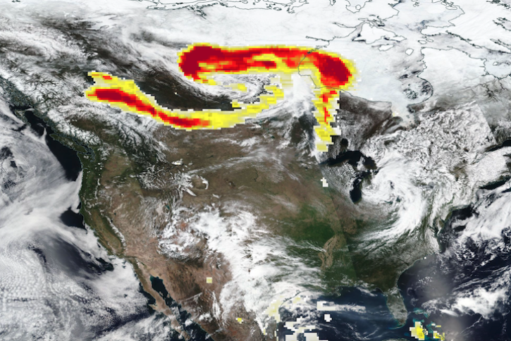
Base true-color corrected reflectance image acquired by the VIIRS instrument aboard the joint NASA/NOAA Suomi NPP satellite on May 21, 2024, overlaid with the Fires and Thermal Anomalies and Aerosol Index layers.
Worldview Image of the Week
May 23, 2024
Base corrected reflectance image acquired May 11, 2024, by the VIIRS instrument aboard the joint NASA/NOAA Suomi NPP satellite and overlaid with Aerosol Index values from the OMPS instrument.
Worldview Image of the Week
May 16, 2024
SHOWING 4 OF 38

Get Help

QUESTIONS & SUPPORT

Have a question?

Get help with NASA Earth science data, datasets, tools, services, and metadata on the Earthdata Forum. Experienced staff in the data user community review and answer questions.

Get help on Earthdata Forum
Earthdata
Forum