We are in the process of migrating all NASA Earth science data sites into Earthdata from now until end of 2026. Not all NASA Earth science data and resources will appear here until then. Thank you for your patience as we make this transition.
Read about the Web Unification Project
OMI Resources
Earthdata resources for users working with NASA’s Ozone Monitoring Instrument (OMI) include tutorials and other learning resources, news announcements such as instrument updates and data releases, user guides and related documents, and frequently asked questions.
OMI Learning Resources
This ARSET training teaches participants how satellite-based Earth observations can inform landslide science and disaster planning.
Training
March 11-18, 2025

The virtual Terra, Aqua, Aura Drifting Orbits Workshop takes place Nov 1-2, 2022, from 10 a.m. to 6 p.m., EDT [UTC -4], each day. The workshop is free and registration is open to the public.
Webinar
Oct. 25, 2022

Join us to learn how to use NASA's GES DISC Level 2 Subsetter to subset SO2 swath data from the NASA Ozone Monitoring Instrument (OMI)!
Webinar
April 18, 2022

LANCE near real-time products enable the management of ongoing events; standard data products are heavily processed and intended for scientific research.
Data Basics
July 15, 2021

The webinar introduces satellite remote sensing, radiance conversion, image classification, and geophysical product creation, and more.
Webinar
Jan. 29, 2021
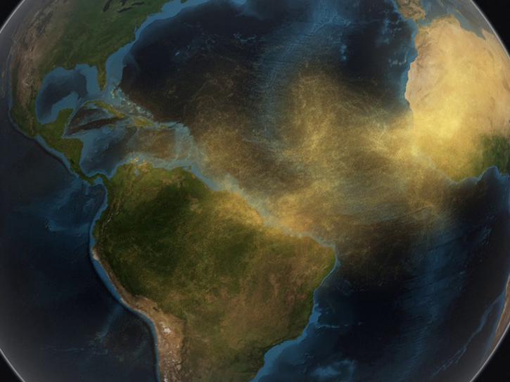
Join us as we explore how GES DISC tools and data products can augment ongoing vital research on the dynamics of dust transport in Earth’s atmosphere. We will investigate the June 2020 Sahara Dust Event over Barbados as our use case.
Webinar
Sept. 25, 2020

This ARSET training is tailored to those interested in learning how to access and visualize NASA satellite imagery.
Training
May 26-28, 2020
Esta capacitación de ARSET ha sido adaptada para quienes se interesan por aprender cómo acceder y visualizar imágenes de satélites de la NASA.
Training
May 26-28, 2020
SHOWING 8 OF 11

A recent study reviewed the impact of satellite data in accurately forecasting the path of Hurricane Sandy. The study showed that AIRS NRT data from NASA’s polar-orbiting satellites significantly improve these predictions.
Feature Article
Nov. 4, 2020

NASA’s Land, Atmosphere Near Real-time Capability for Earth observations, better known as LANCE, is 10 years old. Here’s a look at 10 LANCE milestones over the past decade.
Feature Article
Nov. 4, 2020
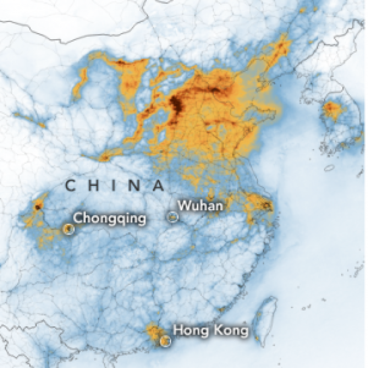
Find research-quality nitrogen dioxide data to assess regional air quality and potential trends in industrial activity.
Feature Article
Nov. 4, 2020
See a list of the most recent GIBS and Worldview imagery additions.
Blog
Sept. 1, 2017
SHOWING 4 OF 32
Frequently Asked Questions
Earthdata Forum
Our online forum provides a space for users to browse thousands of FAQs about research needs, data, and data applications. You can also submit new questions for our experts to answer.
Submit Questions to Earthdata Forumand View Expert Responses