We are in the process of migrating all NASA Earth science data sites into Earthdata from now until end of 2026. Not all NASA Earth science data and resources will appear here until then. Thank you for your patience as we make this transition.
Read about the Web Unification Project
MODIS Resources
Earthdata resources for users working with NASA’s Moderate Resolution Imaging Spectroradiometer (MODIS) data include tutorials and other learning resources, news announcements such as instrument updates and data releases, user guides and related documents, and frequently asked questions.
MODIS Learning Resources

Learn about intensified coastal warming along central-to-southern California in 2014 using satellite sea surface temperature imagery.
Data in Action
Sept. 4, 2014

See how digital elevation models are used to create three-dimensional data visualizations, which provide an insightful perspective on landscapes.
Data in Action
Aug. 18, 2014

Discover how MODIS data were used to depict cloud-free, global variations in vegetation cover.
Data in Action
April 11, 2014

NASA’s SWOT satellite will measure sea level height variations on spatial scales down to a few kilometers.
Data in Action
Aug. 17, 2013

Sea surface temperature anomalies in the Eastern Pacific have shown a recent warming, a known precursor to El Niño conditions in the Equatorial Pacific.
Data in Action
May 21, 2012

An examination of satellite data provides information on the oceanographic conditions that may have been conducive to intense algal blooms.
Data in Action
Oct. 24, 2011
SHOWING 6 OF 222
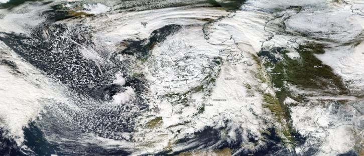
Image captured on Nov 2, 2023, by the MODIS instrument aboard NASA's Aqua satellite.
Worldview Image of the Week
Nov. 2, 2023

NASA Earth science data help Dr. Gonzalo González Abad produce retrievals of formaldehyde and other atmospheric trace gases.
Data User Story
Oct. 26, 2023

The migration of historical satellite data from NASA's Level-1 and Atmosphere Archive and Distribution System Distributed Active Archive Center (LAADS DAAC) to the Earthdata Cloud brings new efficiencies to using these data.
News
Oct. 18, 2023

A summary of datasets, products, and resources released by NASA’s Distributed Active Archive Centers (DAACs) in September 2023.
News
Sept. 29, 2023
SHOWING 4 OF 527
Frequently Asked Questions
Earthdata Forum
Our online forum provides a space for users to browse thousands of FAQs about research needs, data, and data applications. You can also submit new questions for our experts to answer.
Submit Questions to Earthdata Forumand View Expert Responses