We are in the process of migrating all NASA Earth science data sites into Earthdata from now until end of 2026. Not all NASA Earth science data and resources will appear here until then. Thank you for your patience as we make this transition.
Read about the Web Unification Project
MISR Resources
Discover related stories to the Multi-angle Imaging SpectroRadiometer (MISR) instrument.
MISR Learning Resources

This code graphs Aerosol Optical Depths (AOD) from the Multi-angle Imaging SpectroRadiometer (MISR) instrument.
External Resource
GitHub Repository
May 21, 2025

The virtual Terra, Aqua, Aura Drifting Orbits Workshop takes place Nov 1-2, 2022, from 10 a.m. to 6 p.m., EDT [UTC -4], each day. The workshop is free and registration is open to the public.
Webinar
Oct. 25, 2022

MISR's aerosol amount, particle type, aerosol plume height, and associated wind vector data were contributed to CalFiDE's dataset.
Data in Action
Sept. 30, 2022

Near real-time monitoring of tropical storms and observations of previous hurricanes.
StoryMap
April 28, 2022

LANCE near real-time products enable the management of ongoing events; standard data products are heavily processed and intended for scientific research.
Data Basics
July 15, 2021

The CALIPSO satellite and the Earth Polychromatic Imaging Camera (EPIC) on NOAA’s DSCOVR satellite collected valuable data on one of the worst fires and fire seasons in California history.
Data in Action
Nov. 16, 2020

This study analyzes 23,000 globally distributed wildfire smoke plume injection heights from MISR, stratified by region, biome, and month or season.
Data in Action
Oct. 10, 2018

This ARSET training provides an overview of the remote sensing process, data products, and their use in air quality applications.
Training
July 6 - Aug. 3, 2016
SHOWING 8 OF 8
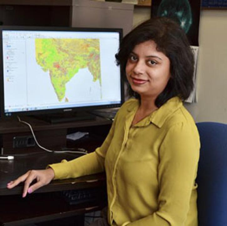
Who uses NASA Earth science data? Dr. Pinki Mondal, to study the effects of climate change on agricultural systems and communities.
Data User Story
Dec. 22, 2020

Who uses NASA Earth science data? Dr. Anne Nolin, to study mountain ecosystems.
Data User Story
Dec. 22, 2020

The Multi-angle Imaging SpectroRadiometer (MISR) instrument aboard the Terra satellite passed over the Colby Fire at 10:45 a.m. on Jan. 16, 2014, about five hours after the fire was first reported. The instrument was able to acquire images of the fire at different angles, allowing scientists to create a 3-D view of the Colby fire and images of the height of the smoke/particulate dispersal.
Feature Article
Nov. 4, 2020

Since 1999, NASA’s Terra Earth observing satellite has completed more than 100,000 orbits. The instrument data from this workhorse satellite has resulted in one of the longest continuous data records of our planet ever recorded from space.
Feature Article
Nov. 4, 2020
SHOWING 4 OF 38
Frequently Asked Questions
Earthdata Forum
Our online forum provides a space for users to browse thousands of FAQs about research needs, data, and data applications. You can also submit new questions for our experts to answer.
Submit Questions to Earthdata Forumand View Expert Responses