We are in the process of migrating all NASA Earth science data sites into Earthdata from now until end of 2026. Not all NASA Earth science data and resources will appear here until then. Thank you for your patience as we make this transition.
Read about the Web Unification Project
LIS Resources
Read the latest Lightning Imaging Sensor (LIS) news and access learning resources designed to help you optimize your Earth science research.
LIS Learning Resources

Visualize lightning flash locations across several user-selected Lightning Imaging Sensor aboard the International Space Station (ISS LIS) swath data files and other processes.
Data Recipe
Jan. 4, 2018

This data recipe shows how to bring gridded netCDF data into ArcMap and create a GeoTIFF file enabling GIS analysis and map making.
Data Recipe
Oct. 10, 2017
SHOWING 2 OF 10

NASA’s global precipitation data and data processing systems have come a long way from the launch of TRMM in 1997 to the ongoing GPM mission.
Feature Article
Nov. 4, 2020

NASA’s Land, Atmosphere Near Real-time Capability for Earth observations, better known as LANCE, is 10 years old. Here’s a look at 10 LANCE milestones over the past decade.
Feature Article
Nov. 4, 2020
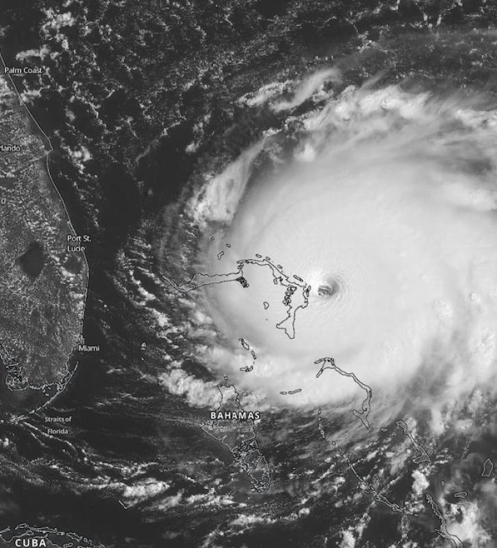
Scientists at NASA's Short-Term Prediction Research and Transition (SPoRT) project use near real-time data to help the operational weather community with hurricane forecasting.
Feature Article
Nov. 4, 2020

Scientists use satellite data from the CERES instrument to simulate cloud effects and improve the accuracy of global climate models.
Feature Article
Oct. 16, 2020
SHOWING 4 OF 25
Frequently Asked Questions
Earthdata Forum
Our online forum provides a space for users to browse thousands of FAQs about research needs, data, and data applications. You can also submit new questions for our experts to answer.
Submit Questions to Earthdata Forumand View Expert Responses