We are in the process of migrating all NASA Earth science data sites into Earthdata from now until end of 2026. Not all NASA Earth science data and resources will appear here until then. Thank you for your patience as we make this transition.
Read about the Web Unification Project
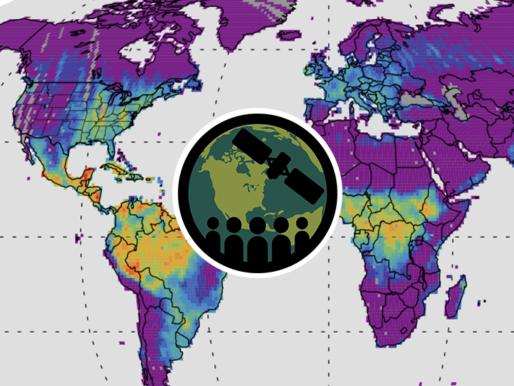
GEDI Lidar Resources
Earthdata resources for users working with NASA’s Global Ecosystem Dynamics Investigation (GEDI) data include tutorials and other learning resources, news announcements, and frequently asked questions.
The GEDI Learning Resources listed below are available on the GEDI Data Resources GitHub repository which provides guides, and Python and R tutorials to help users access and work with GEDI data. This repository is public and open to contributions.
GEDI Lidar Learning Resources

Esta capacitación de ARSET cubre el uso de observaciones terrestres para el monitoreo operativo de incendios.
Training
May 11-27, 2021
This ARSET training provides lectures and case studies focused on the use of Earth observations for operational fire monitoring.
Training
May 11-27, 2021

Read highlights of three publications that detail how NASA Earth observation data informs forest structure mapping, disease vector tracking, and mineral identification.
Data in Action
April 26, 2021
Esta capacitación de ARSET cubre los fundamentos de SIF y lidar, sus aplicaciones y una descripción general de las diferentes fuentes de datos.
Training
March 16-25, 2021
This ARSET training covers the fundamentals of solar induced fluorescence and lidar, their applications, and an overview of different data sources.
Training
March 16-25, 2021

Discover how a NASA DEVELOP team used NASA Earth science remote sensing data to observe the impacts urban growth has had on the city of Huntsville, Alabama.
Data in Action
Nov. 17, 2020
Using simulated Global Ecosystem Dynamics Investigation (GEDI) data, a science team predicted bird occurrence probability in California.
Data in Action
March 10, 2020
SHOWING 7 OF 31
Data from NASA’s Global Ecosystem Dynamics Investigation (GEDI) mission are adding to our understanding of carbon cycling and the structure and development of global biomes.
Feature Article
April 21, 2021

ORNL DAAC has released a new Level 3 data product from the Global Ecosystem Dynamics Investigation (GEDI) mission offering gridded estimates of canopy height and ground elevation.
News
April 20, 2021
Researchers use remote sensing to measure mangrove forest extent and tree height to inform sustainable management of these ecosystems.
Feature Article
March 19, 2021

Invasive species cost the U.S. economy approximately $120 billion a year and disrupt the dynamics of ecosystems. Researchers are increasingly using remote sensing to map where invasive species are and where they could spread in order to minimize their damage.
Feature Article
Feb. 25, 2021
SHOWING 4 OF 32
Frequently Asked Questions
Earthdata Forum
Our online forum provides a space for users to browse thousands of FAQs about research needs, data, and data applications. You can also submit new questions for our experts to answer.
Submit Questions to Earthdata Forumand View Expert Responses