We are in the process of migrating all NASA Earth science data sites into Earthdata from now until end of 2026. Not all NASA Earth science data and resources will appear here until then. Thank you for your patience as we make this transition.
Read about the Web Unification Project
GEDI Lidar Resources
Earthdata resources for users working with NASA’s Global Ecosystem Dynamics Investigation (GEDI) data include tutorials and other learning resources, news announcements, and frequently asked questions.
The GEDI Learning Resources listed below are available on the GEDI Data Resources GitHub repository which provides guides, and Python and R tutorials to help users access and work with GEDI data. This repository is public and open to contributions.
GEDI Lidar Learning Resources
Use NASA's CMR API to programmatically find GEDI data.
External Resource
GitHub Repository
Feb. 21, 2024
Convert GEDI data products from .hdf5 to .geojson enabling visualization in a GIS.
External Resource
GitHub Repository
Feb. 21, 2024
Use NASA's CMR API to programmatically find GEDI data.
External Resource
GitHub Repository
Feb. 21, 2024

Our Earth Data Officer, Katie Baynes, spoke at the Federal GIS Conference Plenary. In case you missed her presentation, here is a story map for you to catch up on how NASA Earth data can be leveraged in your GIS project.
StoryMap
March 5, 2025

Join us to learn more about datasets and tools that enable the harmonization of remote sensing and in situ ecological data products for site-based research.
Webinar
Aug. 22, 2024

Join us for an introduction to NASA’s Global Ecosystems Dynamics Investigation (GEDI) datasets and to learn how to use LP DAAC's web service, data prep script, and Jupyter Notebook Python tutorial series.
Webinar
Aug. 21, 2024
Join us Tuesday, Mar 5, 2024, from 4-5 p.m., ET, to learn how to get started with NASA's Global Ecosystem Dynamics Investigation (GEDI) data in the cloud.
Webinar
Feb. 20, 2024

The GitHub repository, hosted by NASA's Land Processes Distributed Active Archive Center, provides a range of materials for using LP DAAC data and tools.
Tutorial
April 21, 2023
SHOWING 8 OF 31

Deforestation is taking a toll on the Amazon and other areas of high variability of life. Dr. Eric Bullock uses NASA Earth observation data to explore the consequences of land use and land cover change in these areas.
Data User Story
Feb. 25, 2021

Who uses NASA Earth science data? Katherine Pitts, to study the impacts of climate change and analyze remotely-sensed geophysical data.
Data User Story
Dec. 22, 2020

Who uses NASA Earth science data? Dr. Michael Dietze, to improve ecological models through the integration of remotely-sensed data.
Data User Story
Dec. 22, 2020
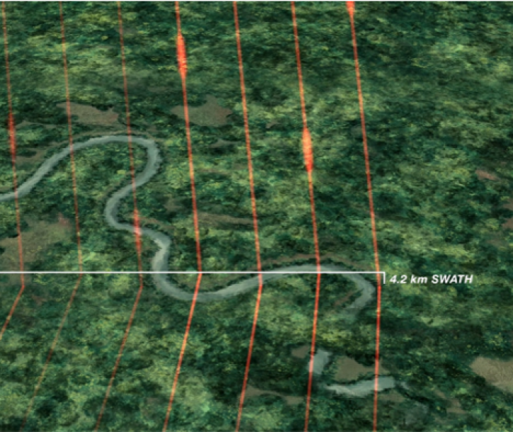
The Global Ecosystem Dynamics Investigation (GEDI) mission was successfully launched on Dec. 5, 2018, to map the 3D structure of Earth's surface.
News
Feb. 5, 2019
SHOWING 4 OF 32
Frequently Asked Questions
Earthdata Forum
Our online forum provides a space for users to browse thousands of FAQs about research needs, data, and data applications. You can also submit new questions for our experts to answer.
Submit Questions to Earthdata Forumand View Expert Responses