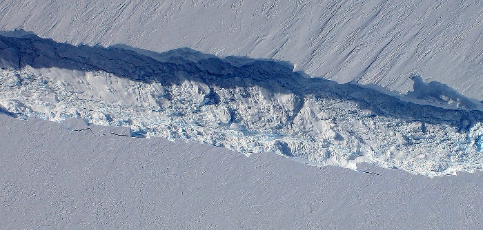
The Digital Mapping System (DMS) is a removable airborne digital camera system that acquires high resolution natural color and panchromatic imagery from low and medium altitude research aircraft. Data acquired by the DMS are used by a variety of scientific programs to monitor variations in environmental conditions, assess global environmental change, and respond to natural disasters. The system is comprised of a Canon EOS 5D Mark II 21-megapixel DSLR camera paired with a Canon F1.8 28 mm (70° field of view) lens mounted to a customized, removable platform. The DMS includes an Applanix Position and Orientation system to allow precision image geo-rectification. DMS can be installed in a variety of aircraft, including NASA's DC-8, Gulfstream, and P-3.
Delivery of Suomi National Polar-orbiting Partnership (Suomi NPP) satellite data products will cease on November 1, 2026. Data users should transition now to alternative products from NOAA-21 and NOAA-20.
Suomi NPP data announcement