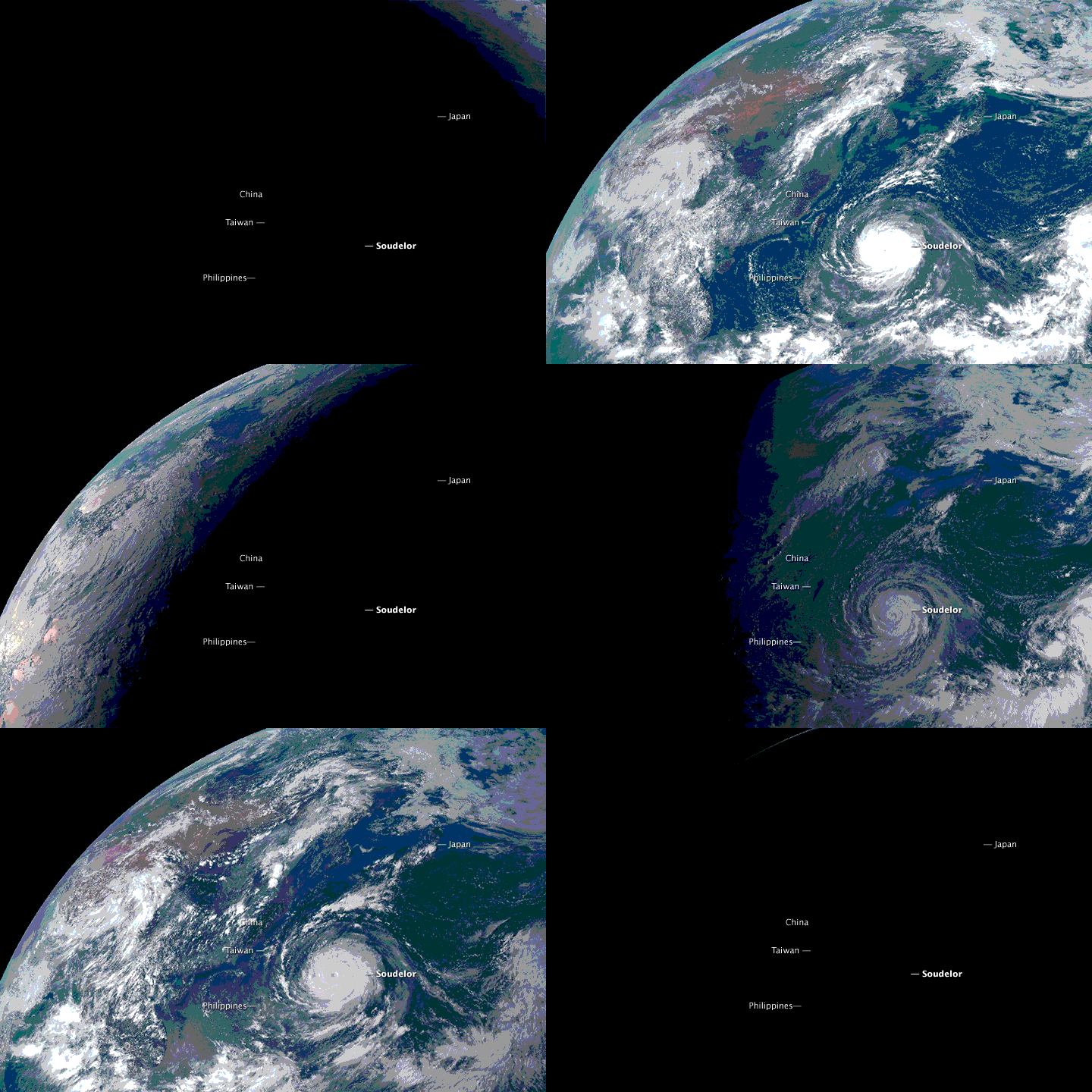
The Advanced Himawari Imager (AHI) is the first ABI-class imager. AHI provides better forecasting, improved numerical weather prediction accuracy, and enhanced environmental monitoring. Environmental intelligence provided by AHI will provide forecasters with better data at faster and higher resolution for advanced warning during dangerous weather. The first AHI became operational on July 7, 2015. The second AHI instrument was launched onboard the Himawari-9 satellite on November 2, 2016.
Delivery of Suomi National Polar-orbiting Partnership (Suomi NPP) satellite data products will cease on November 1, 2026. Data users should transition now to alternative products from NOAA-21 and NOAA-20.
Suomi NPP data announcement