We are in the process of migrating all NASA Earth science data sites into Earthdata from now until end of 2026. Not all NASA Earth science data and resources will appear here until then. Thank you for your patience as we make this transition.
Read about the Web Unification Project
Platforms
Instruments
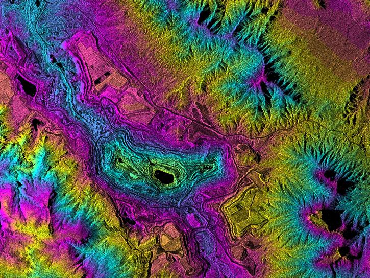
SAR
Coordinate System
CARTESIAN
Granule Spatial Representation
GEODETIC
Temporal Extent
1978-07-04 to 1978-10-12
Data Partner
Alaska Satellite Facility (ASF)
Concept ID
C3576379529-ASF
Data State
COMPLETE
Number of Files/Granules
10590
Processing Level
1
Science Keywords
Sea Ice
,
Forests
,
Geomorphic Landforms/Processes