We are in the process of migrating all NASA Earth science data sites into Earthdata from now until end of 2026. Not all NASA Earth science data and resources will appear here until then. Thank you for your patience as we make this transition.
Read about the Web Unification Project
Platforms
Instruments
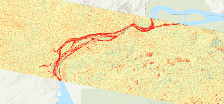
C-SAR
Spatial Extent
N: 90 S: -60 E: 180 W: -180
Coordinate System
CARTESIAN
Granule Spatial Representation
CARTESIAN
Temporal Extent
2016-04-14 to Present
Data Partner
Alaska Satellite Facility (ASF)
,
Observational Products for End-Users from Remote Sensing Analysis, Jet Propulsion Laboratory, NASA (NASA/JPL/OPERA)
Concept ID
C2777436413-ASF
Data State
ACTIVE
Number of Files/Granules
73877342
Processing Level
2
Science Keywords
Geomorphic Landforms/Processes
,
Geomorphic Landforms/Processes
,