We are in the process of migrating all NASA Earth science data sites into Earthdata from now until end of 2026. Not all NASA Earth science data and resources will appear here until then. Thank you for your patience as we make this transition.
Read about the Web Unification Project
CDDIS Learning Resources
Webinars, tutorials, data recipes and more to help you work with CDDIS.
Filters
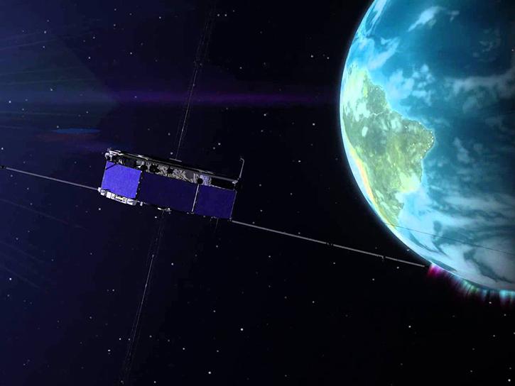
The GNSS-based Upper Atmospheric Realtime Disaster Information and Alert Network (GUARDIAN) aims to enhance early warning of tsunamis.
Data in Action
Dec. 13, 2024
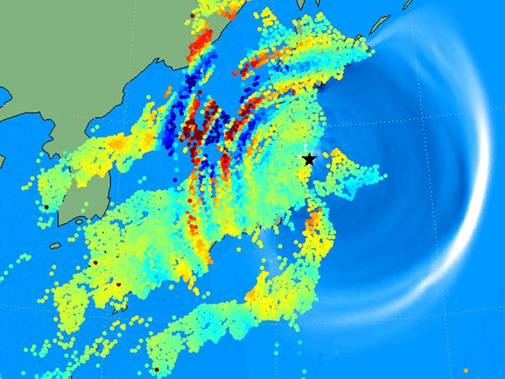
Learn how to use the GNSS-based Upper Atmospheric Realtime Disaster Information and Alert Network (GUARDIAN) ionospheric monitoring software to supplement early warning systems (EWS) detections of natural hazards such as tsunamis, volcanic eruptions, earthquakes, and geomagnetic and solar storms.
Webinar
Sept. 18, 2023
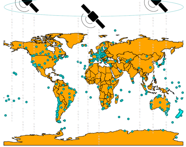
Join us on Sept. 28 to learn about the NASA Making Earth System Data Records (ESDR) for Use in Research Environments (MEaSUREs) Extended Solid Earth Science ESDR System (ESESES) project, whose Global Navigation Satellite System (GNSS)-derived data products enable research on tectonic motion, crustal deformation, earthquakes, tsunamis, sea level rise, extreme weather, and more!
Webinar
Sept. 8, 2022

Join us on Wednesday, July 22, 2015 at 2pm ET to learn how to discover and access the real-time Global Navigation Satellite System (GNSS) data!
Webinar
April 14, 2022
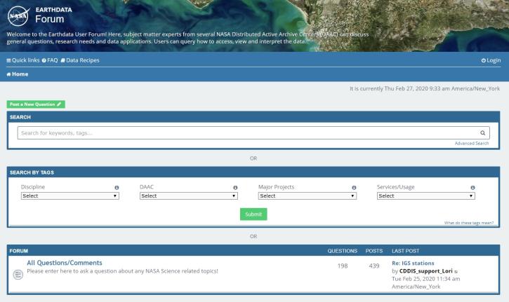
Join us for an introduction to the Earthdata Forum, a hub for submitting your questions about NASA Earth science data, services, and tools and for finding answers on how to discover and use the data distributed by the DAACs represented on the Earthdata Forum.
Webinar
Nov. 23, 2020
SHOWING 5 OF 5