We are in the process of migrating all NASA Earth science data sites into Earthdata from now until end of 2026. Not all NASA Earth science data and resources will appear here until then. Thank you for your patience as we make this transition.
Read about the Web Unification Project
Terrestrial Hydrosphere Learning Resources
Webinars, tutorials, data recipes and more to help you work with Terrestrial Hydrosphere.
Filters
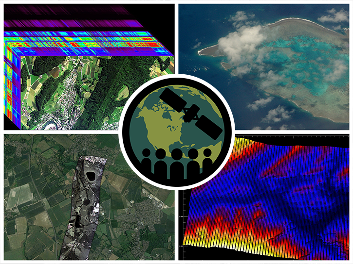
This ARSET training highlights the use of hyperspectral data for measuring and monitoring terrestrial and aquatic biodiversity.
Training
March 27 - April 5, 2023

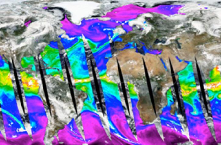
The Surface Water and Ocean Topography (SWOT) mission will provide the first-ever full view of Earth's freshwater bodies from space.
Data in Action
Dec. 12, 2022
Learn how to use Python to convert near real-time (NRT) data from NASA's Advanced Microwave Scanning Radiometer 2 (AMSR2) instrument provided by the Land, Atmosphere Near real-time Capability for Earth Observing Systems (LANCE).
Data Recipe
Dec. 8, 2022
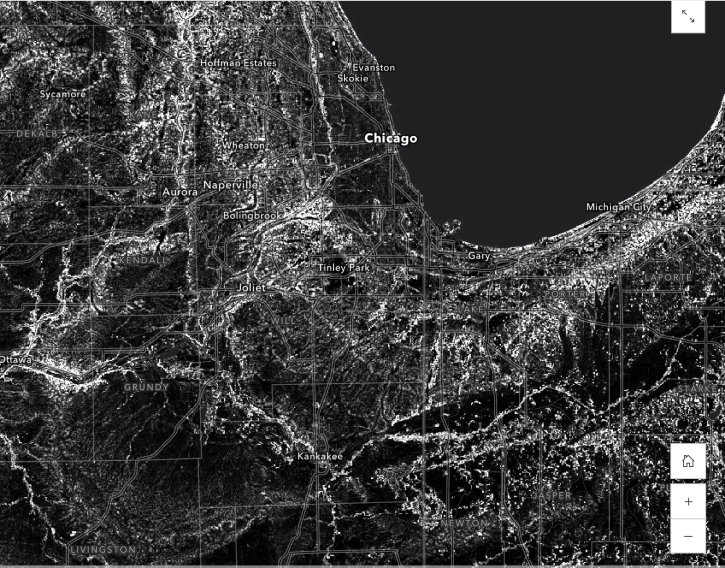
Learn how to use the Global 30-m Height Above Nearest Drainage (HAND) dataset generated from the Copernicus GLO-30 DEM, from the image service published by NASA’s Alaska Satellite Facility Distributed Active Archive Center (ASF DAAC)
StoryMap
Dec. 2, 2022

Esta capacitación de ARSET se centra en el uso de SAR para evaluar áreas en riesgo de desastres por deslizamientos de tierra con InSAR.
Training
Oct. 19-27, 2022
This ARSET training focuses on the use of SAR to assess areas at risk from disasters due to landslides through the use of interferometric SAR (InSAR).
Training
Oct. 19-27, 2022
Join us on Oct 26, 2022 at 2 p.m., ET, to learn how to discover, access, and use meteorological and hydrological datasets at NASA's GES DISC for studying flood events.
Webinar
Oct. 14, 2022

This ARSET training focuses on developments and updates in flood monitoring tools and flood modeling techniques.
Training
Sept. 14-21, 2022
SHOWING 8 OF 83
Frequently Asked Questions
Earthdata Forum
Our online forum provides a space for users to browse thousands of FAQs about research needs, data, and data applications. You can also submit new questions for our experts to answer.
Submit Questions to Earthdata Forumand View Expert Responses