Delivery of Suomi National Polar-orbiting Partnership (Suomi NPP) satellite data products will cease on November 1, 2026. Data users should transition now to alternative products from NOAA-21 and NOAA-20.
Suomi NPP data announcement
Solid Earth News
Articles, resources, and announcements from Solid Earth.
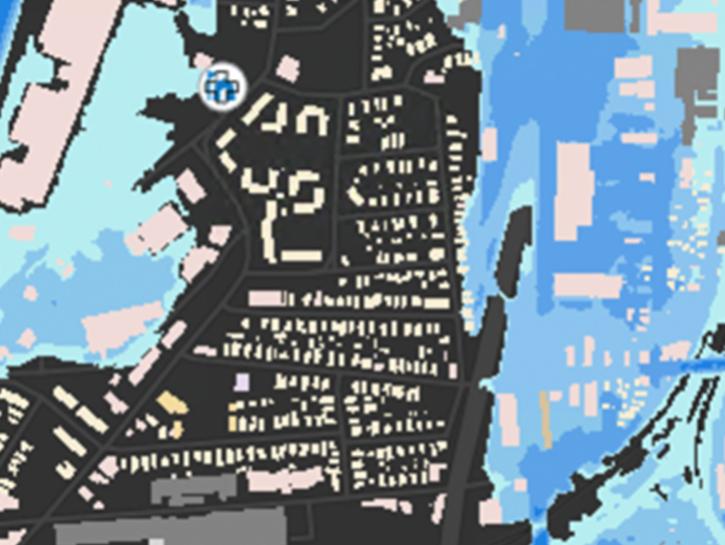
The New York State Flood Impact Support System Application visualizes building footprint data for nearly all New York State's infrastructure.
News
July 7, 2023

ROSES-2023 solicits proposals for membership on the NASA EMIT Science and Applications Team.
News
April 17, 2023

Data from NASA’s Crustal Dynamics Data Information System help Dr. Sharyl Byram find the exact coordinates of any point on Earth.
Data User Story
Aug. 25, 2022

Who Uses NASA Earth Science Data? Rowena Lohman, to study earthquake physics, satellite remote sensing, finite element modeling, ground displacements from a variety of anthropogenic and natural causes.
Data User Story
April 22, 2021

Dr. Bernard Hubbard uses NASA Earth science data to help locate mineral resources and assess natural hazards.
Data User Story
April 22, 2021

Who uses NASA Earth science data? Dr. Erricos C. Pavlis, to help accurately measure Earth.
Data User Story
April 22, 2021
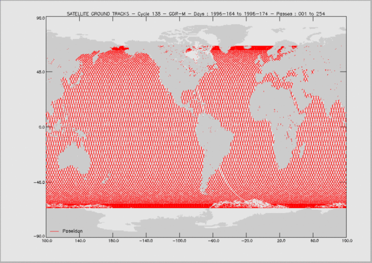
Knowing the precise location of a satellite in space is critical for determining sea surface height and, through this, the rate of global mean sea level rise.
Feature Article
April 19, 2021

50 years ago this October, the first successful Satellite Laser Range measurements were taken, ushering in a new era in the science of measuring the Earth’s exact shape, center of gravity, and precise rotation.
Feature Article
April 15, 2021
SHOWING 8 OF 51