Delivery of Suomi National Polar-orbiting Partnership (Suomi NPP) satellite data products will cease on November 1, 2026. Data users should transition now to alternative products from NOAA-21 and NOAA-20.
Suomi NPP data announcement
Flooding Learning Resources
Webinars, tutorials, data recipes and more to help you work with Flooding.
Filters
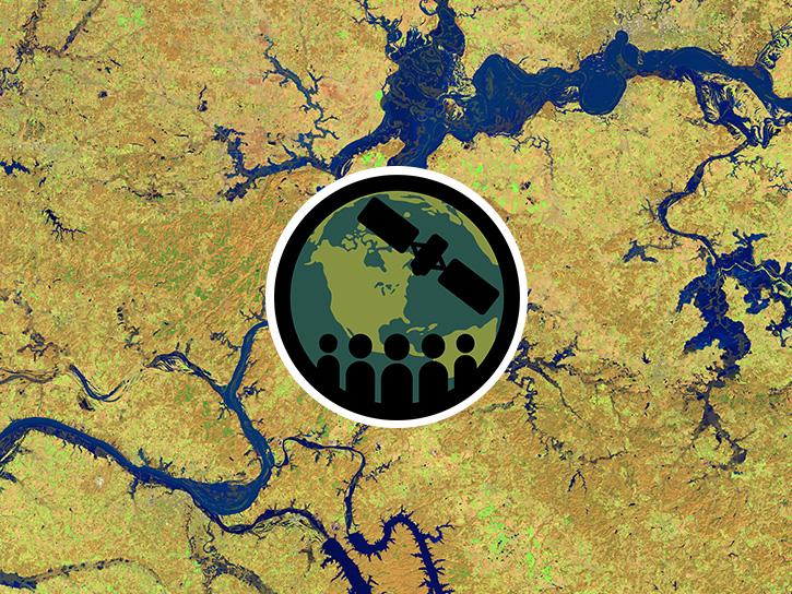
This three-part ARSET training covers flood monitoring via remote sensing, NASA flood products, and GEOGLOWS streamflow predictions.
Training
June 18-25, 2026
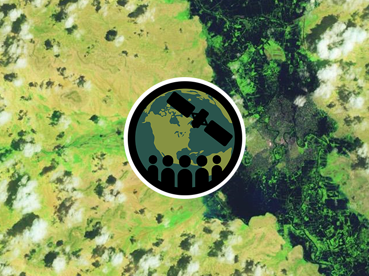
This ARSET training focuses on flood risk, heat stress, and drought effects on agricultural landscapes in refugee settings.
Training
June 6-20, 2024
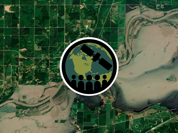
This ARSET training focuses on developments and updates in flood monitoring tools and flood modeling techniques.
Training
Sept. 14-21, 2022
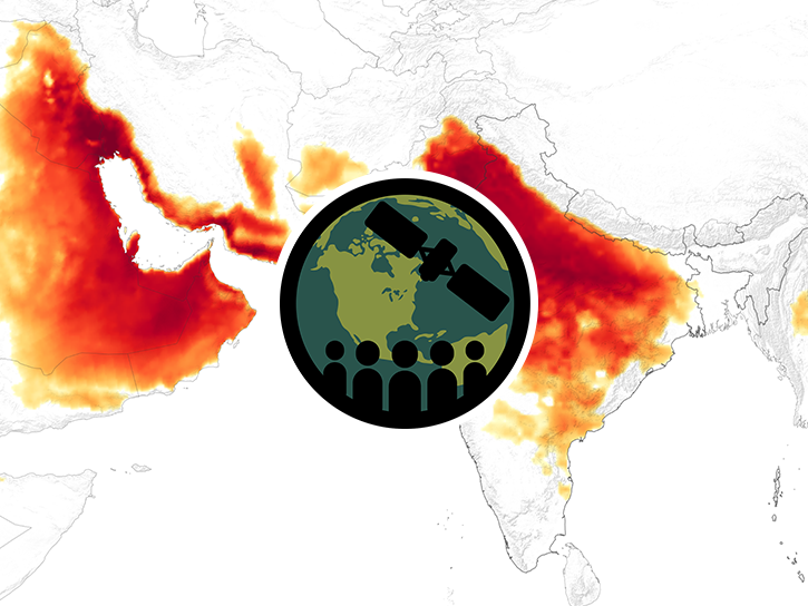
This ARSET training focuses on Earth observation data useful for disaster risk assessment.
Training
Aug. 6-15, 2019
Esta capacitación de ARSET cubre cómo usar datos de la NASA para caracterizar eventos de desastres y apoyar esfuerzos de ayuda.
Training
April 16-30, 2019
This ARSET training shows how NASA remote sensing data can be used to characterize and monitor disaster-related events and support relief efforts.
Training
April 16-30, 2019
This ARSET training focuses on areas of urban flooding that satellite data can track, including extreme precipitation and waterlogged and ponded surfaces.
Training
July 25 - Aug. 1, 2018
This ARSET training introduces remote sensing resources available for monitoring extreme precipitation and flooding as well as flood mapping tools.
Training
June 8-28, 2015
SHOWING 8 OF 8
Get Help
QUESTIONS & SUPPORT
Have a question?
Get help with NASA Earth science data, datasets, tools, services, and metadata on the Earthdata Forum. Experienced staff in the data user community review and answer questions.
Get help on Earthdata ForumEarthdata
Forum
Forum