We are in the process of migrating all NASA Earth science data sites into Earthdata from now until end of 2026. Not all NASA Earth science data and resources will appear here until then. Thank you for your patience as we make this transition.
Read about the Web Unification Project
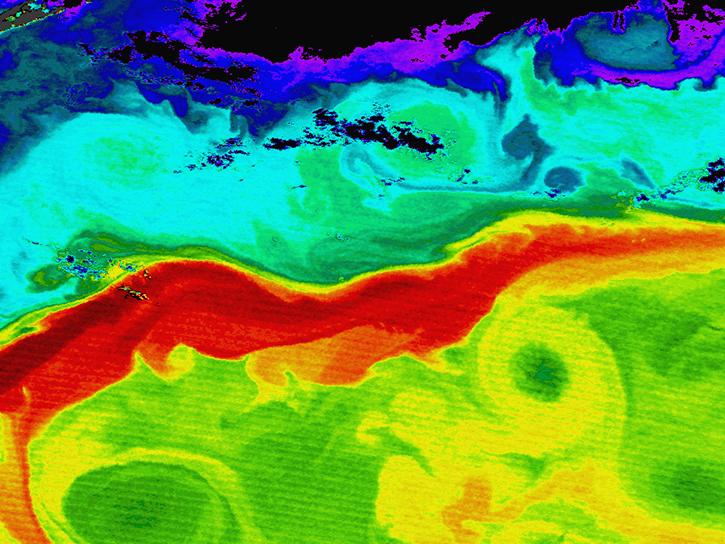
Sea Surface Height Learning Resources
Webinars, tutorials, data recipes and more to help you work with Sea Surface Height.
Filters
Participants will learn how to discover and access physical oceanography data hosted in the Earthdata Cloud and apply AWS cloud computing to analyze global sea level rise.
Webinar
July 14, 2022

Improvements in the new version of this gridded product enhance data collection for the oceanography and climate science communities.
Data in Action
June 15, 2022

Charting global mean sea level rise since 1900.
Data in Action
Nov. 19, 2020

Waves and Satellites: Effect of El Niño on Big Wave Surfing
Data in Action
Jan. 25, 2016

NASA’s SWOT satellite will measure sea level height variations on spatial scales down to a few kilometers.
Data in Action
Aug. 17, 2013
SHOWING 5 OF 21
Frequently Asked Questions
Earthdata Forum
Our online forum provides a space for users to browse thousands of FAQs about research needs, data, and data applications. You can also submit new questions for our experts to answer.
Submit Questions to Earthdata Forumand View Expert Responses