We are in the process of migrating all NASA Earth science data sites into Earthdata from now until end of 2026. Not all NASA Earth science data and resources will appear here until then. Thank you for your patience as we make this transition.
Read about the Web Unification Project
Ocean Learning Resources
Webinars, tutorials, data recipes and more to help you work with Ocean.
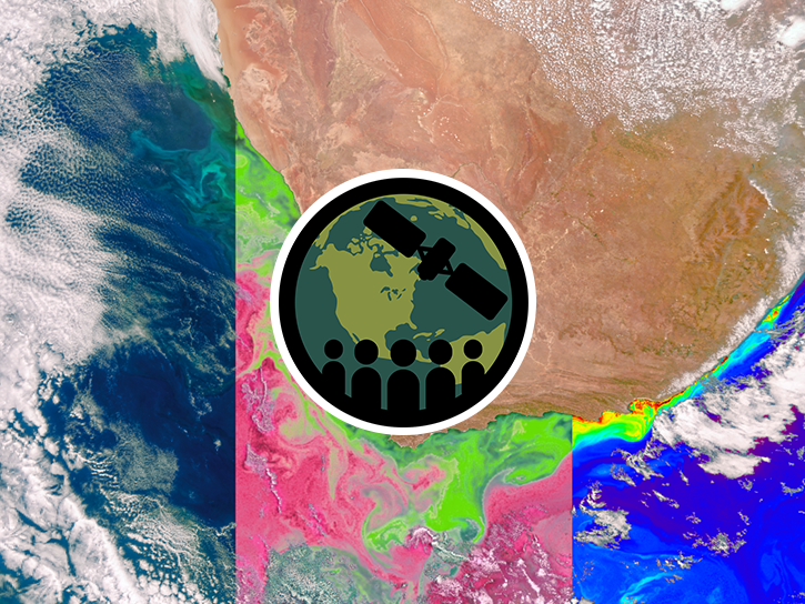
Get Started with the Data Basics
Processing remote sensing data can be overwhelming at first. We have resources to help with your journey through finding, processing, and visualizing remote sensing data.

The life cycle of Earth observation data is rich and complex, with many points of entry along the pipeline. From collection to visualization, we dive deep into the basics to demystify the incredible data in our catalog.
Data Basics
Oct. 19, 2024
Fundamentals of Remote Sensing introduces participants to the underlying science of satellite remote sensing.
Training
Ongoing
Filters
Esta capacitación introductoria de tres partes presentará un resumen de los sensores hiperespectrales y la misión PACE.
Training
Sept. 25 - Oct. 2, 2024
Esta capacitación se enfocará en introducir los datos de agua dulce del satélite SWOT y sus aplicaciones.
Training
May 13-16, 2025
This ARSET training focuses on NASA products available to assess sea level change.
Training
June 10-17, 2025
This ARSET training focuses on introducing SWOT freshwater data products and their applications for water resources and disaster management.
Training
May 13-15, 2025
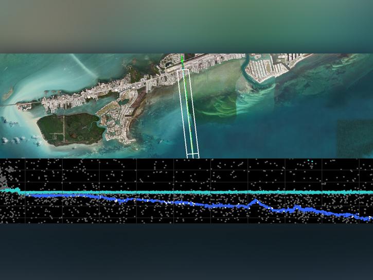
In the third webinar of the ICESat-2 series, learn how to discover, access, and work with a new bathymetric data product, ATL24.
Webinar
March 24, 2025

Altimetry data and models reveal how a volcanic eruption generated a tsunami.
Data in Action
March 20, 2025

For more than 30 years, NASA and its partners have flown satellite altimeter missions providing essential sea level change data to inform coastal communities.
Data in Action
Feb. 5, 2025

Can summer salinity values help better predict ice formation in the fall?
StoryMap
Jan. 22, 2025
SHOWING 8 OF 129
Frequently Asked Questions
Earthdata Forum
Our online forum provides a space for users to browse thousands of FAQs about research needs, data, and data applications. You can also submit new questions for our experts to answer.
Submit Questions to Earthdata Forumand View Expert Responses