We are in the process of migrating all NASA Earth science data sites into Earthdata from now until end of 2026. Not all NASA Earth science data and resources will appear here until then. Thank you for your patience as we make this transition.
Read about the Web Unification Project
Soils Data Access and Tools
Table of contents
Soils Datasets
| Dataset | Platforms | Instruments | Temporal Extent | Location Keywords | Data Format |
|---|---|---|---|---|---|
| LBA-ECO CD-02 Oxygen Isotopes of Plant Tissue Water and Atmospheric Water Vapor | LABORATORY | MASS SPECTROMETERS | 1999-03-01 to 2004-09-30 | CSV | |
| LBA-ECO CD-03 Flux-Meteorological Data, km 77 Pasture Site, Para, Brazil: 2000-2005 | NOT APPLICABLE | NOT APPLICABLE | 2000-09-01 to 2006-01-01 | CSV | |
| LBA-ECO CD-03 Mesoscale Meteorological Data, Santarem Region, Para, Brazil: 1998-2006 | METEOROLOGICAL STATIONS | THERMISTORS, TDR, RAIN GAUGES, PRESSURE PROBE, WIND VANES, PYRANOMETERS, HUMIDITY SENSORS, ANEMOMETERS, THERMOMETERS | 1998-08-20 to 2006-12-31 | CSV | |
| LBA-ECO CD-04 Meteorological and Flux Data, km 83 Tower Site, Tapajos National Forest | FIXED OBSERVATION STATIONS, FIELD INVESTIGATION | SONIC ANEMOMETER, IRGA, PYRANOMETERS, RAIN GAUGES, LICOR QUANTUM SENSOR, NET RADIOMETERS, TEMPERATURE SENSORS, SOIL MOISTURE PROBE, THERMOCOUPLES | 2000-07-01 to 2004-03-12 | CSV | |
| LBA-ECO CD-04 Soil Moisture Data, km 83 Tower Site, Tapajos National Forest, Brazil | FIXED OBSERVATION STATIONS, FIELD INVESTIGATION | RAIN GAUGES, TDR | 2001-12-31 to 2003-12-17 | CSV | |
| LBA-ECO CD-06 Carbon Cycling in Rivers in Amazonas and Acre, Brazil: 2005-2006 | LABORATORY | FLUORESCENCE MICROSCOPY, MASS SPECTROMETERS | 2005-07-16 to 2006-09-25 | CSV | |
| LBA-ECO CD-06 Soil Classification Map, Ji-Parana River Basin, Rondonia, Brazil | MAPS | DIGITIZER | 1983-01-01 to 1983-12-31 | Shapefile | |
| LBA-ECO CD-06 Water Balance of the Ji-Parana River Basin, Brazil: 1995-1996 | STREAMFLOW STATION, METEOROLOGICAL STATIONS | STREAM GAUGES, RAIN GAUGES | 1995-10-01 to 1996-08-31 | CSV | |
| LBA-ECO CD-08 Carbon Isotopes in Belowground Carbon Pools, Amazonas and Para, Brazil | LABORATORY | MASS SPECTROMETERS, CHN ANALYZERS | 1992-05-01 to 1999-07-05 | CSV | |
| LBA-ECO CD-08 Tropical Forest Ecosystem Respiration, Manaus, Brazil | FIELD INVESTIGATION | IRGA, SOIL MOISTURE PROBE, LICOR PLANT CANOPY ANALYZER | 2000-07-29 to 2001-08-15 | CSV |
Pagination
SHOWING 10 OF 543
Featured Soils Observation Method: MODIS
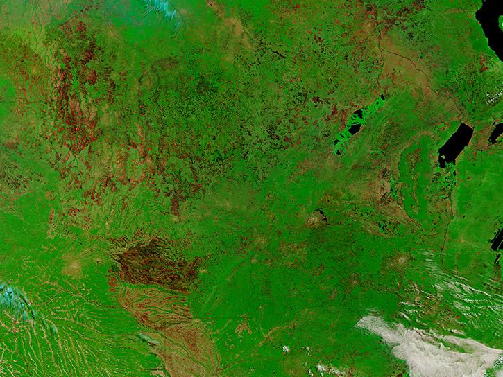
The Moderate Resolution Imaging Spectroradiometer (MODIS) aboard the Aqua and Terra platforms continually collects global data approximately every two days. One MODIS product, normalized vegetation difference index data, can be used to predict how much carbon dioxide is emitted from soils, which is major component of the global carbon cycle. Carbon is released in the process called soil respiration and driven by the decomposition of surface litter through microbial activity.
Researchers taught the SatVision Top-of-Atmosphere foundation model to recognize MODIS imagery features.
4 MIN READ
The Visible Infrared Imaging Radiometer Suite (VIIRS) will help ensure continuity of Earth observations after the upcoming retirement of the Moderate Resolution Imaging Spectroradiometer (MODIS).
Learn how to access and use Moderate Resolution Imaging Spectroradiometer (MODIS) Version 6 land data.
Remote sensing data's drought-indicating parameters are essential to manage the impact of water scarcities and minimize drought losses.
Soils Data Tools
| Tool Sort descending | Description | Services | |
|---|---|---|---|
| Vertex | Vertex is a graphical search interface for finding synthetic aperture radar (SAR) data. | Search and Discovery, Access, Downloading, Processing, Subsetting |
SHOWING 1 OF 1
Frequently Asked Questions
Earthdata Forum
Our online forum provides a space for users to browse thousands of FAQs about research needs, data, and data applications. You can also submit new questions for our experts to answer.
Submit Questions to Earthdata Forumand View Expert Responses


