We are in the process of migrating all NASA Earth science data sites into Earthdata from now until end of 2026. Not all NASA Earth science data and resources will appear here until then. Thank you for your patience as we make this transition.
Read about the Web Unification Project
Land Surface News
Articles, resources, and announcements from Land Surface.

Data available from NASA’s LP DAAC helps scientists like Dr. Robert Wright develop systems for autonomously detecting volcanic eruptions from space.
Data User Story
Oct. 20, 2021

Dr. Hannah Kerner highlights the use of machine learning to address challenges in agriculture and food security through the use of remote sensing data.
Webinar
Aug. 12, 2021

Image captured on 17 August 2020, by the MODIS instrument, aboard NASA's Terra satellite.
Worldview Image of the Week
July 13, 2021

Image captured on 6 July 2021, by the MODIS instrument, aboard the Terra satellite.
Worldview Image of the Week
July 12, 2021

Researchers used field and remote sensing data to map the spread of ticks carrying Lyme disease bacteria in central and eastern Canada.
Feature Article
June 24, 2021
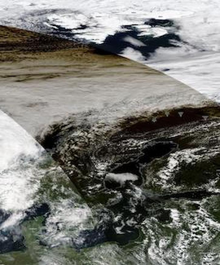
Image captured on June 10, 2021, by the MODIS instrument, aboard the Aqua satellite.
Worldview Image of the Week
June 21, 2021
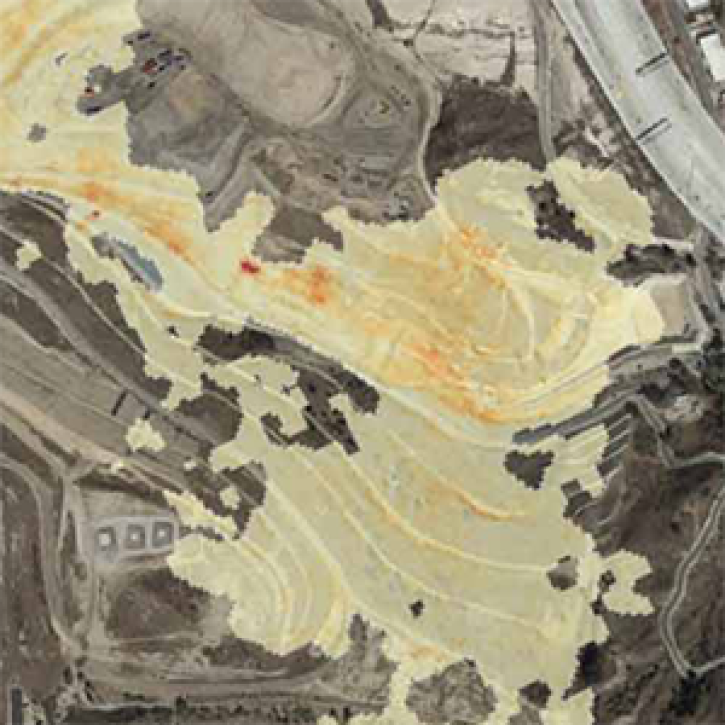
The Methane Source Finder project mapped potential sources of methane in California and developed new technologies to make remote sensing data of methane emissions readily available.
Feature Article
June 17, 2021
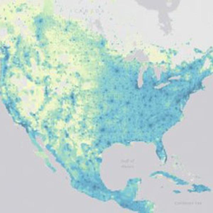
SEDAC releases datasets showing impacts in patterns of socioeconomic development in the era of climate change.
News
June 16, 2021
SHOWING 8 OF 285