We are in the process of migrating all NASA Earth science data sites into Earthdata from now until end of 2026. Not all NASA Earth science data and resources will appear here until then. Thank you for your patience as we make this transition.
Read about the Web Unification Project
Land Surface Learning Resources
Webinars, tutorials, data recipes and more to help you work with Land Surface.
Filters
Learn how to access and use VIIRS/Suomi-NPP data products.
Tutorial
Oct. 2, 2018

This ARSET training covers change detection methods, including image subtraction, classification, and analysis.
Training
Sept. 28 - Oct. 5, 2018

This ARSET training covers different techniques for applying synthetic aperture radar to disaster, water, and land cover applications.
Training
Aug. 7-16, 2018
Esta capacitación de ARSET cubre técnicas para utilizar radar de apertura sintética (SAR) en aplicaciones para desastres, agua y cobertura terrestre.
Training
Aug. 7-16, 2018

This ARSET training focuses on areas of urban flooding that satellite data can track, including extreme precipitation and waterlogged and ponded surfaces.
Training
July 25 - Aug. 1, 2018

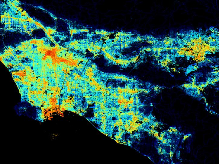
Remote sensing data's drought-indicating parameters are essential to manage the impact of water scarcities and minimize drought losses.
Data in Action
June 27, 2018

This ARSET training covers how to conduct an accuracy assessment on a land cover map and identify which classes might be misrepresented.
Training
Feb. 13-20, 2018

Learn how surface reflectance and albedo as measured by satellite data help scientists understand the topography and vegetation cover of Earth surfaces.
Data in Action
Nov. 30, 2017
SHOWING 8 OF 190
Frequently Asked Questions
Earthdata Forum
Our online forum provides a space for users to browse thousands of FAQs about research needs, data, and data applications. You can also submit new questions for our experts to answer.
Submit Questions to Earthdata Forumand View Expert Responses