We are in the process of migrating all NASA Earth science data sites into Earthdata from now until end of 2026. Not all NASA Earth science data and resources will appear here until then. Thank you for your patience as we make this transition.
Read about the Web Unification Project
Land Surface Learning Resources
Webinars, tutorials, data recipes and more to help you work with Land Surface.
Filters
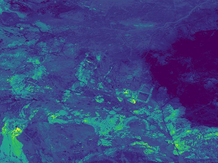
Use the earthaccess Python library to find EMIT L2B Mineral Identification Band Depth and Uncertainty data.
External Resource
GitHub Repository
June 28, 2024

Join us on Thursday, May 29, to learn about the NASA JPL OPERA Surface Displacement (OPERA-DISP) dataset and how to access and explore the data using ASF DAAC's Displacement Portal.
Webinar
May 14, 2025
Learn more about the NASA Commercial Satellite Data Acquisition (CSDA) program vendor ICEYE US and how to discover, access, and work with ICEYE's high-resolution SAR products.
Webinar
April 15, 2025

Use NASA's Application for Extracting and Exploring Analysis Ready Samples (AppEEARS) tool to access data for an area of interest.
Tutorial
March 13, 2025
Access data for a point of interest using NASA's Application for Extracting and Exploring Analysis Ready Samples (AppEEARS) tool.
Tutorial
March 13, 2025
This ARSET training teaches participants how satellite-based Earth observations can inform landslide science and disaster planning.
Training
March 11-18, 2025
This ARSET training provides an overview of spectral indices for land and aquatic applications as they are calculated with the QGIS platform.
Training
Feb. 27, 2025
Work with data from the NASA/ISRO (Indian Space Research Organization) Synthetic Aperture Radar (NISAR) platform in ArcGIS Pro with data from NASA's Alaska Satellite Facility Distributed Active Archive Center (ASF DAAC).
StoryMap
Feb. 26, 2025
SHOWING 8 OF 199
Frequently Asked Questions
Earthdata Forum
Our online forum provides a space for users to browse thousands of FAQs about research needs, data, and data applications. You can also submit new questions for our experts to answer.
Submit Questions to Earthdata Forumand View Expert Responses