Access a range of datasets and data tools to further your land surface temperature research.
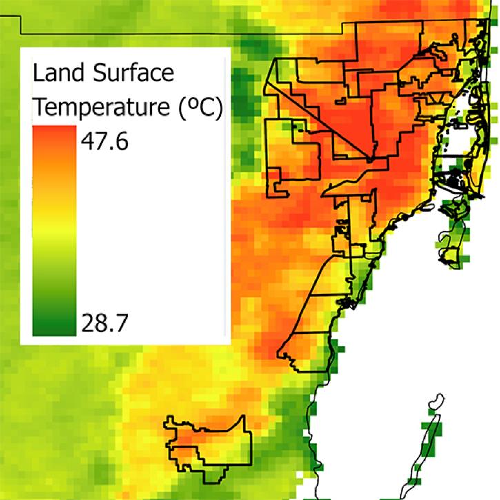
Land surface temperature (LST) describes how warm or cold surfaces on Earth are and its related processes, such as the exchange of energy and water between the land surface and Earth's atmosphere. LST influences the rate and timing of plant growth and is affected by the albedo — the reflectance — of a surface. These data can improve decision making for water use and irrigation strategies, and are also an indicator for crop health and water stress.
NASA has decades of LST data from an array of instruments such as the the Moderate Resolution Imaging Spectroradiometer (MODIS) and the Visible Infrared Imaging Radiometer Suite (VIIRS) along with modeled data from NASA's NASA’s Land Data Assimilation System (LDAS). Additionally, there are many tutorials and tools available for using the data.
Learn How to Use Land Surface Temperature Data
Join Our Community of NASA Data Users
While NASA data are openly available without restriction, an Earthdata Login is required to download data and to use some tools with full functionality.
Learn About the Benefits of Earthdata LoginGet Help
QUESTIONS & SUPPORT
Get help with NASA Earth science data, datasets, tools, services, and metadata on the Earthdata Forum. Experienced staff in the data user community review and answer questions.
Get help on Earthdata ForumForum