Digital Elevation/Terrain Model (DEM) Data Access and Tools
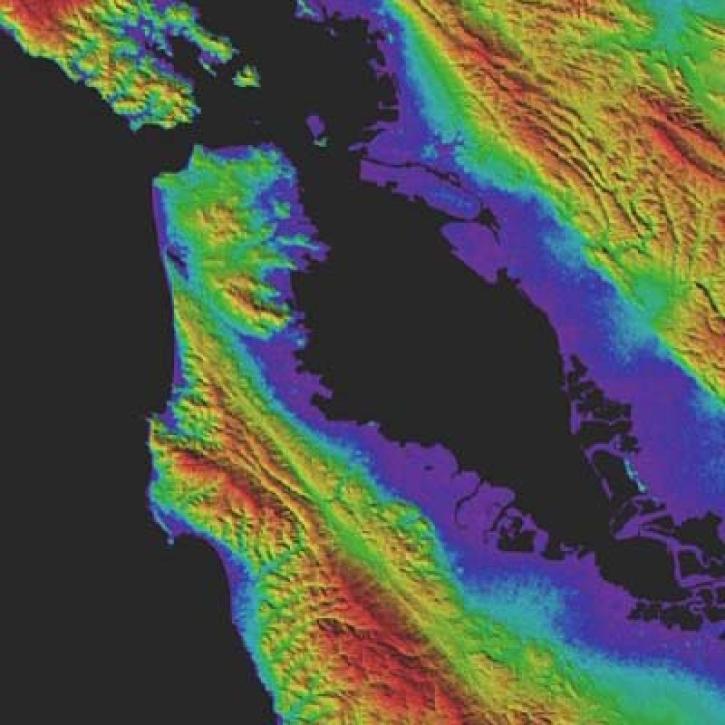
NASA's digital elevation model (DEM) data provides measurements across a majority of Earth's interior, shore, and coastal areas. Our datasets and tools help researchers translate these interconnected data points into actionable knowledge.
Digital Elevation/Terrain Model (DEM) Datasets
| Dataset Sort descending | Version | Platforms | Instruments | Temporal Extent | Spatial Extent | Spatial Resolution | Data Format |
|---|---|---|---|---|---|---|---|
| CMS: Mangrove Canopy Height Estimates from Remote Imagery, Zambezi Delta, Mozambique | 1 | Airplane, SPACE SHUTTLES, WORLDVIEW-2, TSX | AIRBORNE LASER SCANNER, SRTM, SAR | 2011-10-14 to 2014-05-06 |
N: -18.6269 S: -18.915 E: 36.3389 W: 36.1186 |
GeoTIFF | |
| Delta-X: AirSWOT L2 Geocoded Water Surface Elevation, MRD, LA, 2021, V3 | 3 | King Air | AirSWOT | 2021-03-26 to 2021-09-12 |
N: 29.86 S: 28.98 E: -90.21 W: -91.6 |
multiple | |
| Delta-X: AirSWOT L3 Water Surface Elevations, MRD, Louisiana, 2021, Version 2 | 2 | King Air | AirSWOT | 2021-03-26 to 2021-09-12 |
N: 29.76 S: 29.07 E: -90.58 W: -91.54 |
CSV | |
| Delta-X: Digital Elevation Model, MRD, LA, USA, 2021 | 1 | FIELD SURVEYS | SONAR, SOUNDERS | 2012-01-01 to 2021-12-31 |
N: 29.9581 S: 28.968 E: -90.149 W: -91.908 |
COG | |
| Digital Elevation Models for the Global Change Research Wetland, Maryland, USA, 2016 | 1 | Airplane, FIELD SURVEYS, COASTAL STATIONS, MODELS | LIDAR, VISUAL OBSERVATIONS, GPS RECEIVERS, TIDE GAUGES, Computer | 2016-06-22 to 2016-08-15 |
N: 38.8789 S: 38.8717 E: -76.5427 W: -76.5525 |
multiple | |
| G-LiHT Metrics V001 | 001 | G-LiHT | Headwall, Riegl Airborne Lidar | 2011-06-30 to Present |
N: 73 S: 10 E: -50 W: -170 |
13 Meters x 13 Meters | GeoTIFF |
| GEDI L1B Geolocated Waveform Data Global Footprint Level V002 | 002 | ISS | GEDI | 2019-04-04 to 2023-03-16, 2024-04-26 to Present |
N: 54 S: -54 E: 180 W: -180 |
25 Meters x 25 Meters | HDF5 |
| GEDI L2B Canopy Cover and Vertical Profile Metrics Data Global Footprint Level V001 | 001 | ISS | GEDI | 2019-04-18 to 2020-09-03 |
N: 90 S: -90 E: 180 W: -180 |
25 Meters x 25 Meters | HDF5 |
| GEDI L2B Canopy Cover and Vertical Profile Metrics Data Global Footprint Level V002 | 002 | ISS | GEDI | 2019-04-04 to 2023-03-16, 2024-04-26 to Present |
N: 54 S: -54 E: 180 W: -180 |
25 Meters x 25 Meters | HDF5 |
| Global 1-km Gridded Thickness of Soil, Regolith, and Sedimentary Deposit Layers | 1 | DEM | HYDROMETERS | 1900-01-01 to 2015-12-31 |
N: 90 S: -60 E: 180 W: -180 |
GeoTIFF |
Frequently Asked Questions
Earthdata Forum
Our online forum provides a space for users to browse thousands of FAQs about research needs, data, and data applications. You can also submit new questions for our experts to answer.
Submit Questions to Earthdata Forumand View Expert Responses


