Population Data Access and Tools
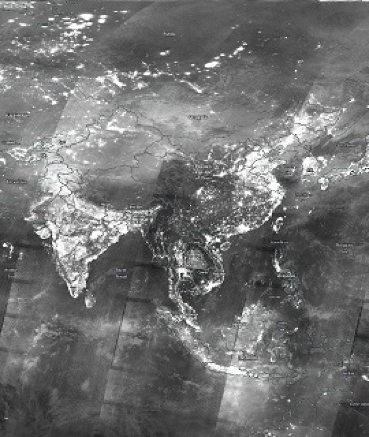
NASA has population datasets that help researchers characterize people, places, and the lives they live there. Access a range of data and data tools such as SEDAC's Population Estimation Service to make the most of population data.
Population Datasets
| Dataset Sort descending | Version | Platforms | Instruments | Temporal Extent | Spatial Extent | Spatial Resolution | Data Format |
|---|---|---|---|---|---|---|---|
| Archive of Census Related Products (ACRP): 1990 Summary Tape File (STF1B) | 1.00 | MODELS | Computer | 1990-04-01 |
N: 72 S: 18 E: -66 W: -180 |
CSV | |
| Archive of Census Related Products (ACRP): 1990 ZIP Equivalency Files | 1.00 | MODELS | Computer | 1990-04-01 |
N: 72 S: 18 E: -66 W: -180 |
CSV | |
| Archive of Census Related Products (ACRP): 1992 Boundary Files | 1.00 | MODELS | Computer | 1980-01-01 to 1992-12-31 |
N: 72 S: 18 E: -66 W: -180 |
BNA | |
| China Dimensions Data Collection: China County-Level Data on Population (Census) and Agriculture, Keyed to 1:1M GIS Map | 1.00 | MODELS | Computer | 1985-01-01 to 1990-12-31 |
N: 54 S: 18 E: 135 W: 73 |
ArcInfo Interchange, DBF | |
| Compendium of Environmental Sustainability Indicator Collections: Complete Collection, Version 1.1 | 1.01 | MODELS | Computer | 1973-01-01 to 2005-12-31 |
N: 90 S: -55 E: 180 W: -180 |
CSV, PDF | |
| Country-Level Population and Downscaled Projections Based on the SRES A1, B1, and A2 Scenarios, 1990-2100 | 1.0 | MODELS | Computer | 1990-01-01 to 2100-12-31 |
N: 90 S: -90 E: 180 W: -180 |
Excel | |
| Country-Level Population and Downscaled Projections Based on the SRES B2 Scenario, 1990-2100 | 1.0 | MODELS | Computer | 1990-01-01 to 2100-12-31 |
N: 90 S: -90 E: 180 W: -180 |
Excel | |
| Development Threat Index | 1.0 | MODELS | Computer | 2015-01-01 to 2015-12-31 |
N: 90 S: -65.25 E: 180 W: -180 |
GeoTIFF, PNG, PDF, WMS | |
| Geoecology: County-Level Environmental Data for the United States, 1941-1981 | 1 | COMPUTERS | Computer | 1941-01-01 to 1981-12-31 |
N: 49.3844 S: 24.4981 E: -66.9499 W: -124.763 |
Text File | |
| Georeferenced Population Datasets of Mexico (GEO-MEX): GIS of Mexican States, Municipalities and Islands | 1.00 | MODELS | Computer | 1990-01-01 to 1990-12-31 |
N: 33 S: 14 E: -87 W: -117 |
ArcInfo Interchange |
Population Data Tools
| Tool Sort descending | Description | Services | |
|---|---|---|---|
| POPGRID Viewer | POPGRID Viewer explores the intercomparison of population counts and settlement mapping from leading global data sources. | Comparison |
Frequently Asked Questions
Earthdata Forum
Our online forum provides a space for users to browse thousands of FAQs about research needs, data, and data applications. You can also submit new questions for our experts to answer.
Submit Questions to Earthdata Forumand View Expert Responses


