We are in the process of migrating all NASA Earth science data sites into Earthdata from now until end of 2026. Not all NASA Earth science data and resources will appear here until then. Thank you for your patience as we make this transition.
Read about the Web Unification Project
Human Dimensions News
Articles, resources, and announcements from Human Dimensions.
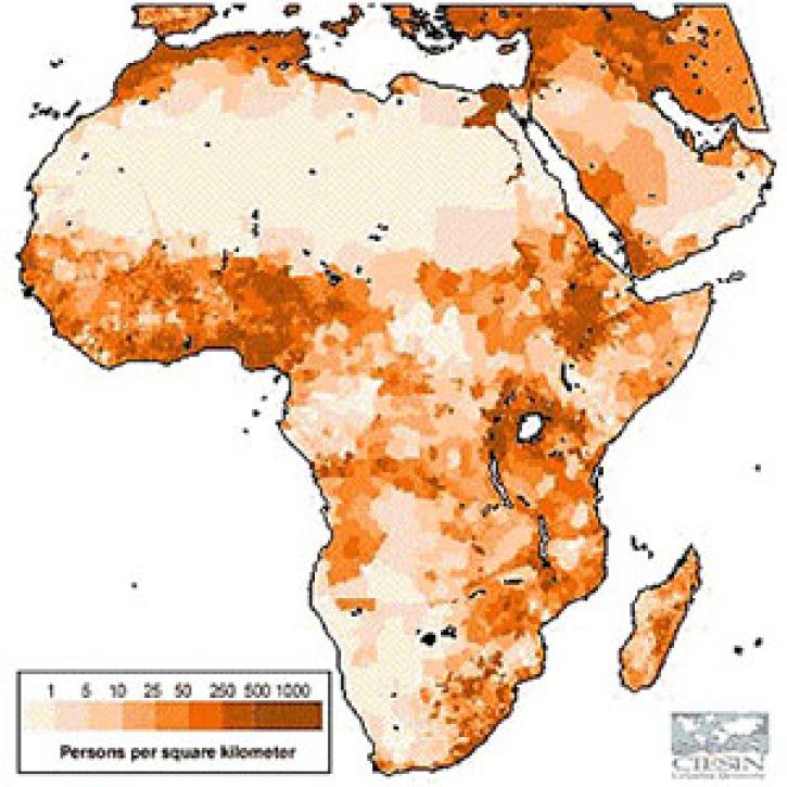
GPW data help scientists estimate Gross National Product density across the world.
Feature Article
July 22, 2020

Scientists use gridded population of the world (GPW) data to study hazards and populations.
Feature Article
July 22, 2020

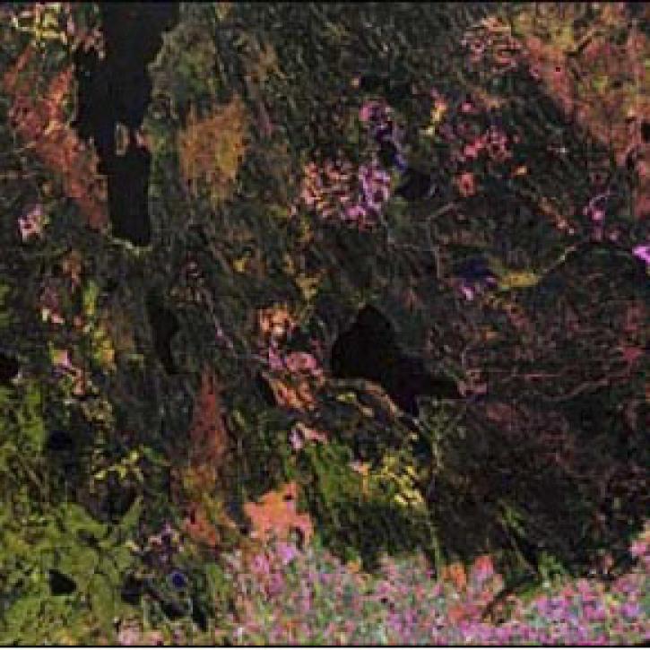
Scientists use Pathfinder AVHRR (PAL) data to study land cover.
Feature Article
July 22, 2020
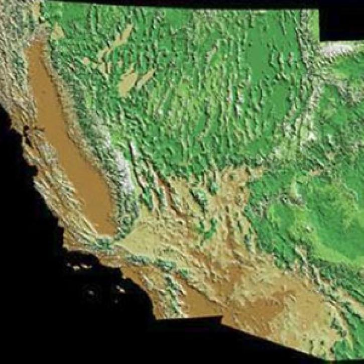
Publication from NASA ESDIS describing research uses of data from EOSDIS - Mojave Desert land managers decide what recreational activities to allow.
Feature Article
July 22, 2020

Scientists use Landsat satellite images from LP DAAC to study a hantavirus outbreak.
Feature Article
July 22, 2020

Improved satellite data from Landsat and AVHRR produce false color maps for environmental scientists.
Feature Article
July 22, 2020

A new global data set and publication reveal the locations of the world's natural disaster hotspots.
Feature Article
July 22, 2020
SHOWING 8 OF 850