On May 6 from 8:00 to 9:00 a.m. (US Eastern Time), the Data Catalog and Earthdata Search search may be temporarily unavailable due to maintenance of the NASA Common Metadata Repository (CMR).
Human Dimensions News
Articles, resources, and announcements from Human Dimensions.
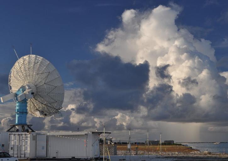
Convection meets the Indian Ocean for supersize weather.
Feature Article
Dec. 27, 2020

Who Uses NASA Earth Science Data? Lars Bromley, to study the integration of satellite imagery and geospatial data in supporting global UN operations and activities in the areas of disaster response, humanitarian support, human security, and human rights.
Data User Story
Dec. 22, 2020

Who Uses NASA Earth Science Data? Kevin Gallo, to improve radar and satellite estimations of hail size and damage.
Data User Story
Dec. 22, 2020

Who uses NASA Earth science data? Katherine Pitts, to study the impacts of climate change and analyze remotely-sensed geophysical data.
Data User Story
Dec. 22, 2020

Who uses NASA Earth science data? Dr. Róisín Commane, to study the effects of terrestrial pollution on the atmosphere’s chemical composition.
Data User Story
Dec. 22, 2020
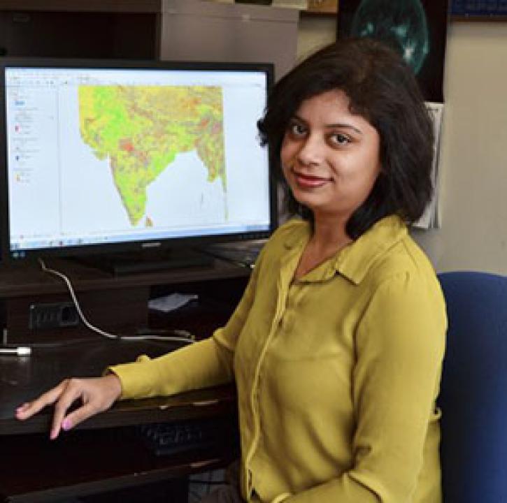
Who uses NASA Earth science data? Dr. Pinki Mondal, to study the effects of climate change on agricultural systems and communities.
Data User Story
Dec. 22, 2020

Who uses NASA Earth science data? Dr. Paul Stackhouse, for developing new products for analyzing the global energy cycle and interfaces for using these data.
Data User Story
Dec. 22, 2020

Who uses NASA Earth science data? Dr. Nancy French, to study the effects of wildfires on forest ecosystems.
Data User Story
Dec. 22, 2020
SHOWING 8 OF 851