We are in the process of migrating all NASA Earth science data sites into Earthdata from now until end of 2026. Not all NASA Earth science data and resources will appear here until then. Thank you for your patience as we make this transition.
Read about the Web Unification Project
Human Dimensions News
Articles, resources, and announcements from Human Dimensions.

Image captured on Oct 3, 2021, by the MODIS instrument aboard the Aqua satellite.
Worldview Image of the Week
Oct. 28, 2021
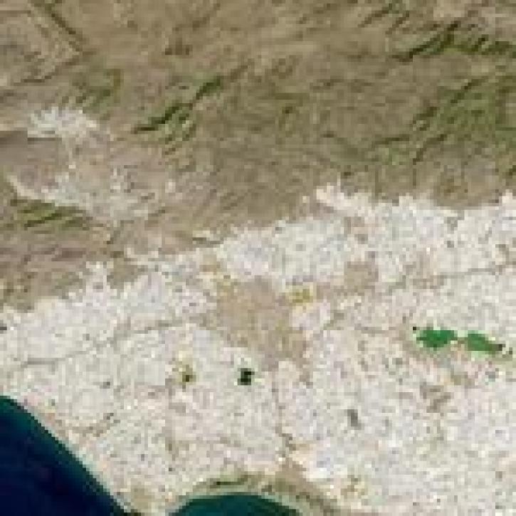
Image captured on 18 September 2021 by the OLI instrument aboard the Landsat 8 satellite.
Worldview Image of the Week
Oct. 25, 2021
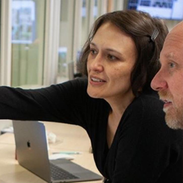
Data from NASA’s GES DISC helps scientists like Dr. Nadia Smith build and improve retrieval systems that provide important information to climate scientists and meteorologists around the globe.
Data User Story
Oct. 25, 2021

Satellites provide crucial information for researchers to monitor and help improve agricultural productivity in India.
Feature Article
Oct. 22, 2021

Image captured on Aug 22, 2021, by the VIIRS instrument, aboard the joint NASA/NOAA NOAA 20 satellite.
Worldview Image of the Week
Oct. 22, 2021

Image captured on Sep 12, 2021, by the MODIS instrument aboard the Aqua satellite.
Worldview Image of the Week
Oct. 20, 2021

Data available from NASA’s LP DAAC helps scientists like Dr. Robert Wright develop systems for autonomously detecting volcanic eruptions from space.
Data User Story
Oct. 20, 2021

A research team using NASA data is the first to combine temperature, relative humidity, and population data in their study of extreme heat exposure.
News
Oct. 4, 2021
SHOWING 8 OF 850