We are in the process of migrating all NASA Earth science data sites into Earthdata from now until end of 2026. Not all NASA Earth science data and resources will appear here until then. Thank you for your patience as we make this transition.
Read about the Web Unification Project
Human Dimensions News
Articles, resources, and announcements from Human Dimensions.
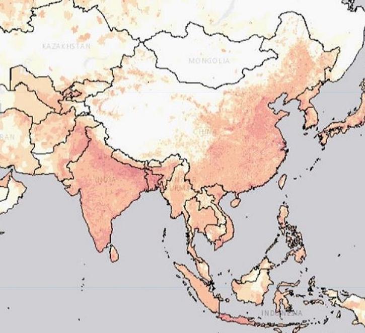
The POPGRID Viewer tool demystifies the process of finding the right population dataset.
Feature Article
Oct. 31, 2023
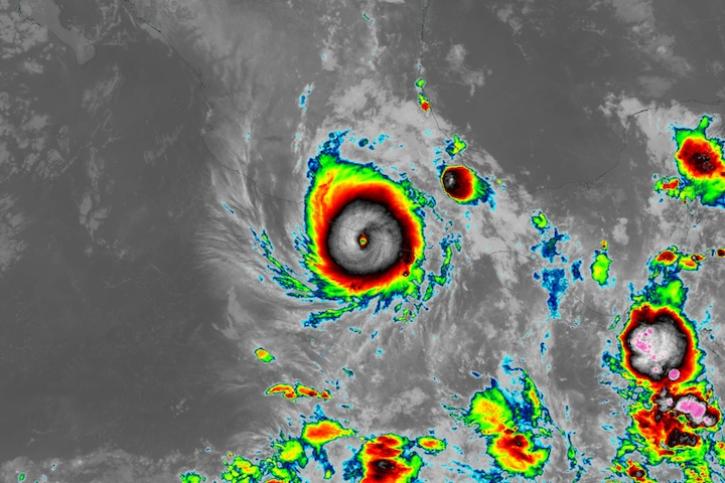
Image captured on Oct 25, 2023, at 1:20 a.m., EST [5:20 UTC], by the ABI instrument aboard the GOES-East satellite.
Worldview Image of the Week
Oct. 26, 2023

Image captured on Oct 9, 2023, by the MSI instrument aboard the ESA (European Space Agency) Sentinel-2A and -2B satellites.
Worldview Image of the Week
Oct. 12, 2023

Image captured on Oct 4, 2023, by the VIIRS instrument aboard the joint NASA/NOAA Suomi NPP satellite.
Worldview Image of the Week
Oct. 5, 2023

Base image acquired Sep 27, 2023, by the VIIRS instrument aboard the joint NASA/NOAA Suomi NPP satellite and overlaid with Aerosol Index values from the OMPS instrument.
Worldview Image of the Week
Sept. 28, 2023

Join NASA's Prediction Of Worldwide Energy Resources (POWER) Project October 11-12 for the second virtual Global Community (GloCo) Summit. Learn about the Project’s latest enhancements, help drive future improvements, and engage with keynote speakers from the POWER community.
Event
Sept. 27, 2023

Image captured on Sep 22, 2023, by the ABI instrument aboard the GOES-East satellite.
Worldview Image of the Week
Sept. 22, 2023

Image captured on Sep 13, 2023, by the VIIRS instrument aboard the joint NASA/NOAA Suomi NPP satellite.
Worldview Image of the Week
Sept. 14, 2023
SHOWING 8 OF 850