Delivery of Suomi National Polar-orbiting Partnership (Suomi NPP) satellite data products will cease on November 1, 2026. Data users should transition now to alternative products from NOAA-21 and NOAA-20.
Suomi NPP data announcement
Human Dimensions News
Articles, resources, and announcements from Human Dimensions.
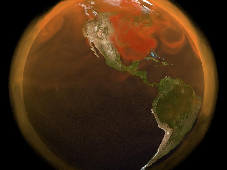
Interactive stories along with urban-relevant datasets are the latest updates to the portal.
News
Oct. 30, 2024

Sentinel-1 synthetic aperture radar (SAR) data are used to create maps of surface water extent for research, planning, and disaster response.
News
Oct. 28, 2024
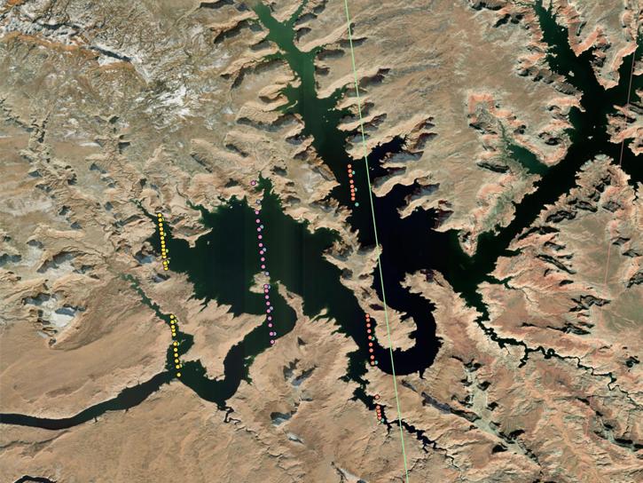
This is the first in a five-part webinar series to introduce NASA's Ice, Cloud, and land Elevation-2 (ICESat-2) platform and the platform's data, tools, and applications.
Webinar
Oct. 28, 2024
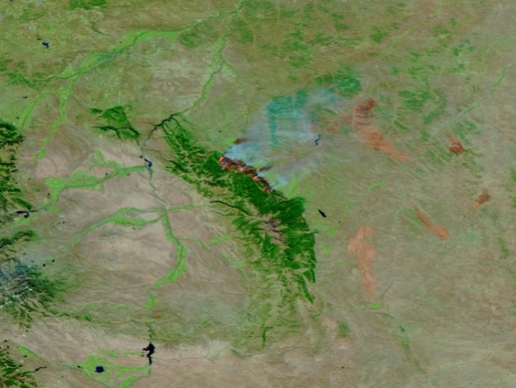
This image of the Elk Fire in Wyoming was captured on Oct 16, 2024, by the VIIRS instrument aboard the joint NASA/NOAA NOAA-21 platform.
Worldview Image of the Week
Oct. 17, 2024
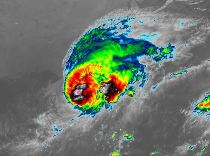
Image captured on Oct 10, 2024, at 8:00 p.m., EDT [00:00 UTC], by the Advanced Baseline Imager (ABI) instrument aboard the GOES-East platform.
Worldview Image of the Week
Oct. 10, 2024
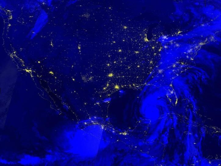
Image captured Sep 26, 2024, by the VIIRS instrument aboard the joint NASA/NOAA NOAA-20 platform.
Worldview Image of the Week
Sept. 26, 2024
Join NASA's Prediction Of Worldwide Energy Resources (POWER) Project November 6-7 for the third virtual GloCo Summit. Learn about new POWER tools for using NASA Earth Science data and engage with keynote speakers from the POWER community.
Event
Sept. 25, 2024
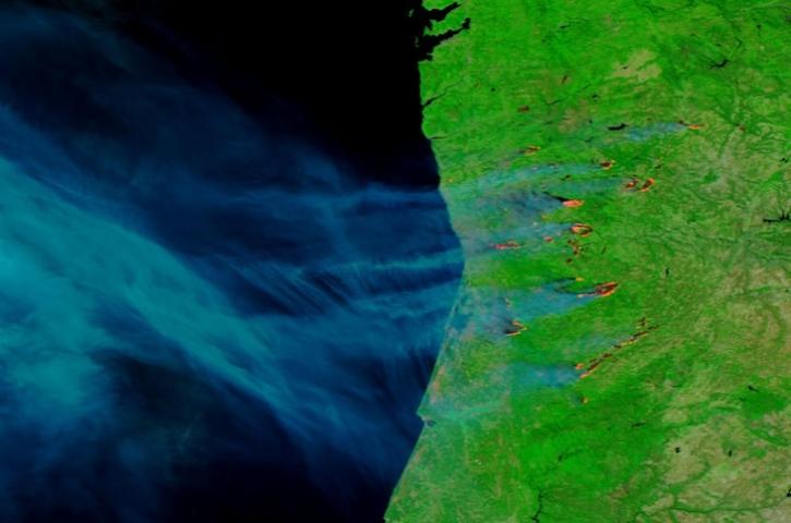
Image captured on Sep 17, 2024, by the VIIRS instrument aboard the joint NASA/NOAA NOAA-20 satellite.
Worldview Image of the Week
Sept. 19, 2024
SHOWING 8 OF 862