We are in the process of migrating all NASA Earth science data sites into Earthdata from now until end of 2026. Not all NASA Earth science data and resources will appear here until then. Thank you for your patience as we make this transition.
Read about the Web Unification Project
Natural Hazards News
Articles, resources, and announcements from Natural Hazards.

The Global Navigation Satellite System (GNSS) enables the precise location of points on Earth’s surface. For geodesists like Dr. Herring, it also is a key geodetic technique for his studies of surface deformation processes.
Data User Story
Jan. 7, 2021


Science and relief efforts come together in the aftermath of the 2005 Kashmir earthquake.
Feature Article
Dec. 28, 2020


Scientists pit nature against nature to protect New Yorkers from storms.
Feature Article
Dec. 28, 2020
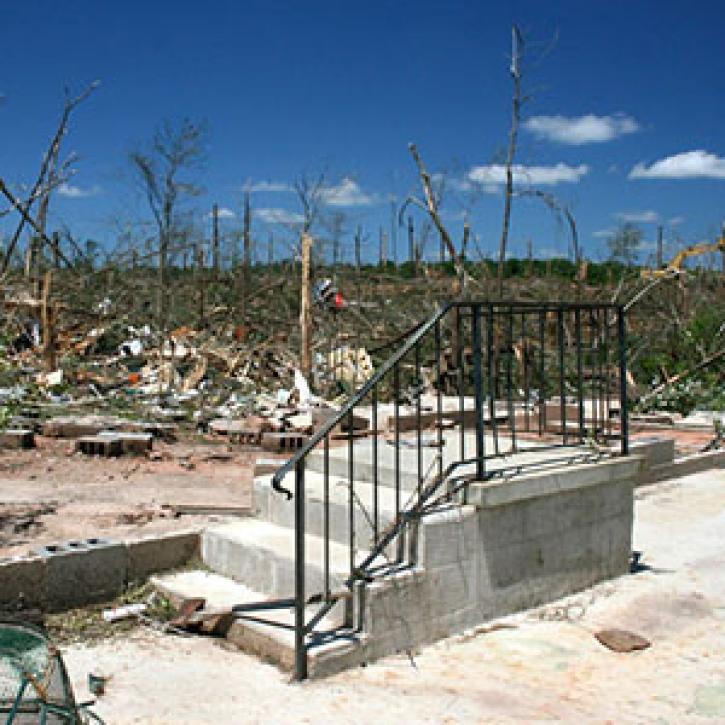
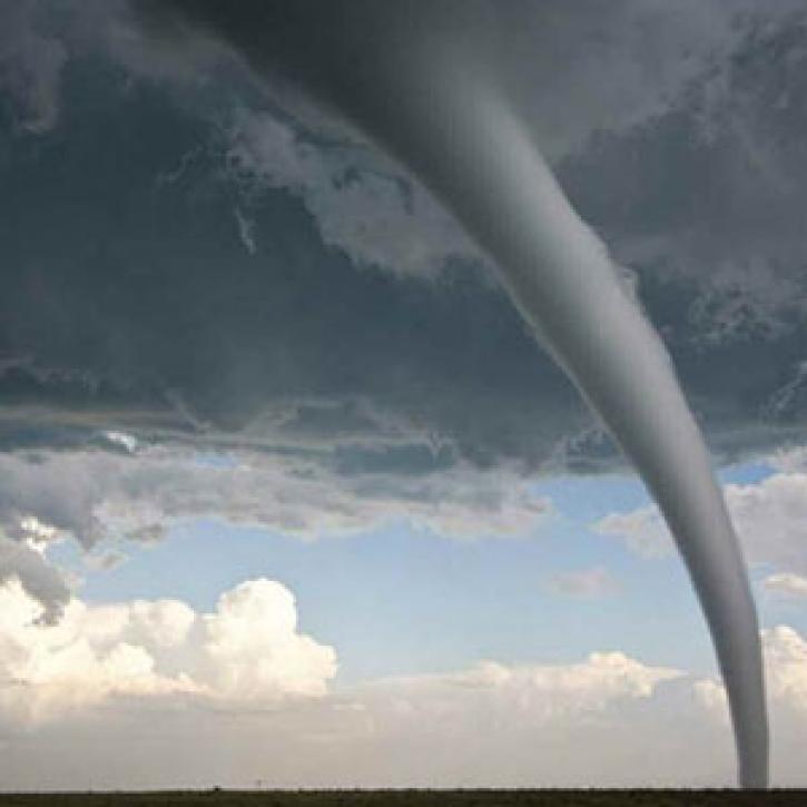
Moisture on the ground may fuel more violence in the sky.
Feature Article
Dec. 28, 2020

New methods help Argentinian farmers brace for bad weather.
Feature Article
Dec. 28, 2020
SHOWING 8 OF 521