We are in the process of migrating all NASA Earth science data sites into Earthdata from now until end of 2026. Not all NASA Earth science data and resources will appear here until then. Thank you for your patience as we make this transition.
Read about the Web Unification Project
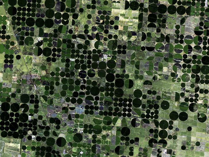
Human Dimensions Learning Resources
Webinars, tutorials, data recipes and more to help you work with Human Dimensions.
Filters

This ARSET training provides an overview of the remote sensing process, data products, and their use in air quality applications.
Training
July 6 - Aug. 3, 2016

This ARSET training introduces remote sensing for coastal and ocean applications.
Training
July 6-27, 2016

This ARSET training provides an overview of NASA remote sensing data and applications for disaster management.
Training
June 9-30, 2016

This ARSET training provides an overview of carbon monitoring for terrestrial ecosystems.
Training
June 9 - July 7, 2016

This ARSET training provides an overview of environmental parameters that are useful for predicting and monitoring environmental health events.
Training
June 2-30, 2016

See ASTER data used to study tornado damage in Joplin, Missouri.
Data in Action
May 26, 2016
Learn about Web-Enabled Landsat Data (WELD), a MEaSUREs project that created composited mosaics of the U.S. using ETM+ data from 2002 to 2012.
Data in Action
March 31, 2016

This ARSET training provides demonstrations and hands-on experience in using NASA remote sensing observations and flood mapping tools.
Training
March 16 - April 6, 2016
SHOWING 8 OF 325
Frequently Asked Questions
Earthdata Forum
Our online forum provides a space for users to browse thousands of FAQs about research needs, data, and data applications. You can also submit new questions for our experts to answer.
Submit Questions to Earthdata Forumand View Expert Responses