Delivery of Suomi National Polar-orbiting Partnership (Suomi NPP) satellite data products will cease on November 1, 2026. Data users should transition now to alternative products from NOAA-21 and NOAA-20.
Suomi NPP data announcement
Human Dimensions Learning Resources
Webinars, tutorials, data recipes and more to help you work with Human Dimensions.
Filters
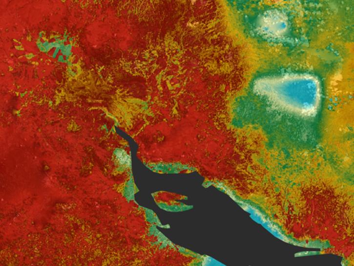
Learn how ECOSTRESS measures surface temperatures to assess plant water use and stress, aiming to optimize agricultural practices and support ecosystem health.
Tutorial
June 25, 2018
This ARSET training covers the NASA data and tools useful for monitoring tropical storms.
Training
May 3-10, 2018
This ARSET training introduces the Variable Infiltration Capacity Model, sources of satellite-derived input data, and implementation of the model.
Training
Feb. 15 - March 1, 2018
This ARSET training covers how to conduct an accuracy assessment on a land cover map and identify which classes might be misrepresented.
Training
Feb. 13-20, 2018
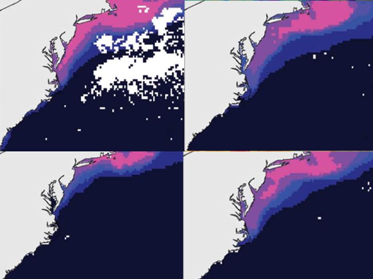
The ability to understand where fish are likely to be and when they are likely to be there is critical for the sustainable management of fisheries.
Data in Action
Feb. 1, 2018
This ARSET training teaches how to use Python scripts to map and analyze air quality data through hands-on exercises.
Training
Jan. 17-22, 2018
Sentinel-1 synthetic aperture radar (SAR) imagery is sensitive to standing water, making it an ideal tool for mapping the extent of floodwater covering an area.
Data Recipe
Dec. 3, 2017
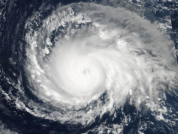
See how data from MODIS and VIIRS allow meteorologists to observe how a hurricane formed, where it went, how long it lasted, and its impact.
Data in Action
Oct. 19, 2017
SHOWING 8 OF 331
Frequently Asked Questions
Earthdata Forum
Our online forum provides a space for users to browse thousands of FAQs about research needs, data, and data applications. You can also submit new questions for our experts to answer.
Submit Questions to Earthdata Forumand View Expert Responses