We are in the process of migrating all NASA Earth science data sites into Earthdata from now until end of 2026. Not all NASA Earth science data and resources will appear here until then. Thank you for your patience as we make this transition.
Read about the Web Unification Project
Environmental Governance/Management News
Articles, resources, and announcements from Environmental Governance/Management.
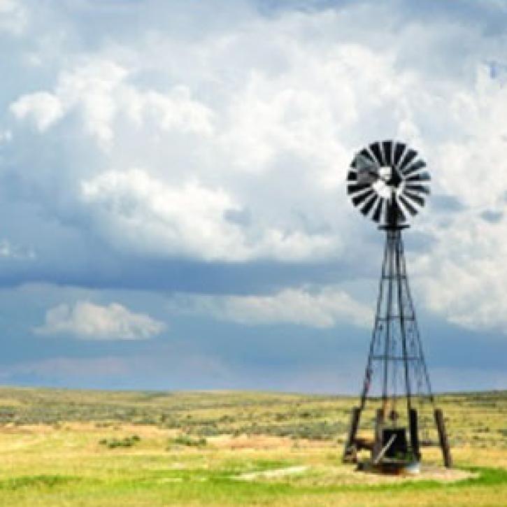
Scientists use a pair of new satellites to keep up with groundwater resources.
Feature Article
Dec. 28, 2020
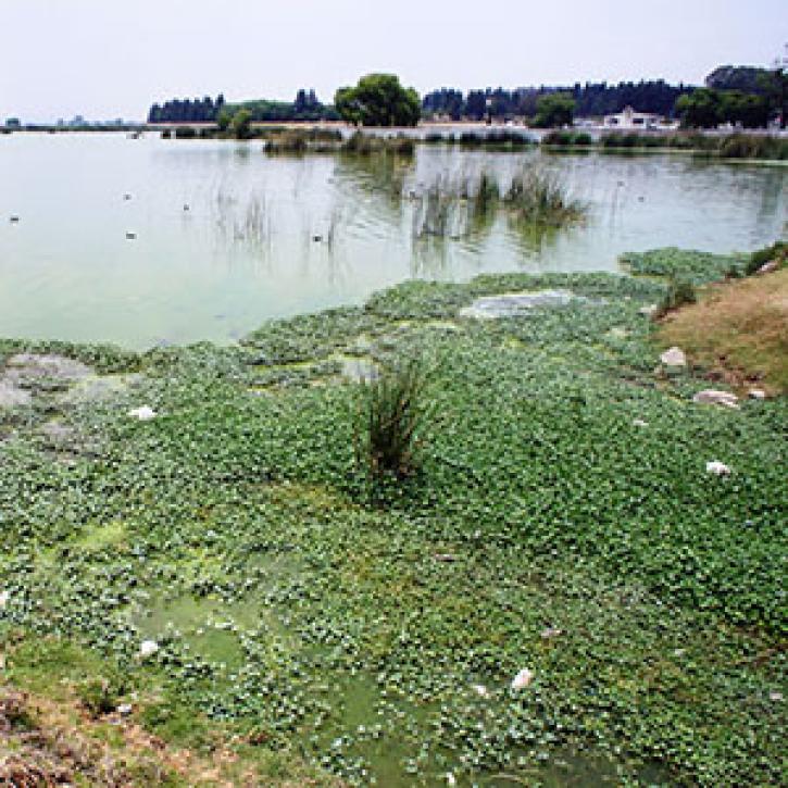
In Mexico’s escalating water crisis, a view from the sky provides answers.
Feature Article
Dec. 27, 2020
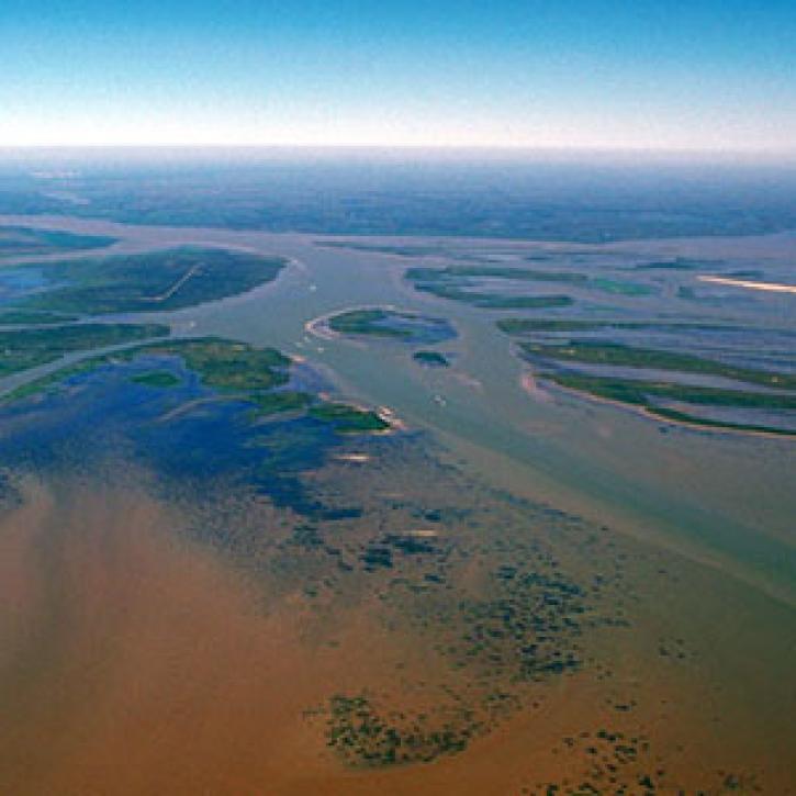
Complex structures keep the Mississippi River out of the Atchafalaya, for now.
Feature Article
Dec. 27, 2020

Who Uses NASA Earth Science Data? Lars Bromley, to study the integration of satellite imagery and geospatial data in supporting global UN operations and activities in the areas of disaster response, humanitarian support, human security, and human rights.
Data User Story
Dec. 22, 2020

Who uses NASA Earth science data? David Mocko, for using land-surface models to study drought.
Data User Story
Dec. 22, 2020
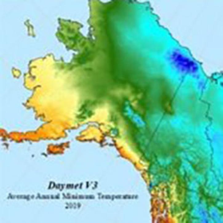
The Daymet dataset at NASA’s Oak Ridge National Laboratory Distributed Active Archive Center (ORNL DAAC) provides nearly 40 years of environmental data about North America.
Feature Article
Nov. 4, 2020

Registration is open for the Space Apps Challenge 2020 Hackathon, which will take place virtually October 2-4.
Feature Article
Nov. 4, 2020
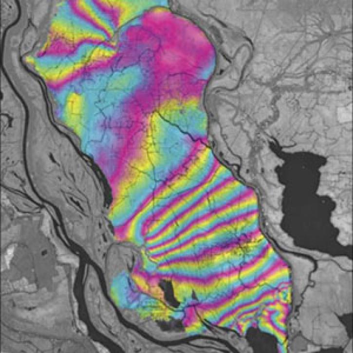
A technique to study land senses water-level changes in the Mississippi River delta.
Feature Article
July 28, 2020
SHOWING 8 OF 57