We are in the process of migrating all NASA Earth science data sites into Earthdata from now until end of 2026. Not all NASA Earth science data and resources will appear here until then. Thank you for your patience as we make this transition.
Read about the Web Unification Project
Environmental Governance/Management Learning Resources
Webinars, tutorials, data recipes and more to help you work with Environmental Governance/Management.
Filters

Join us to learn more about the new Landsat Analysis Ready Data (ARD), other improvements to the USGS Landsat archive and to hear a status update for the Landsat 9 mission
Webinar
April 20, 2022

Join us to learn about NASA's Land Atmosphere Near real-time Capability for EOS (LANCE) system and available data. During this webinar we will describe the difference between NRT data and standard quality data and show you how to discover and access LANCE NRT data.
Webinar
April 20, 2022

Esta capacitación de ARSET comparte cómo aplicar los datos geoespaciales del Laboratorio de Biodiversidad de las Naciones Unidas para la conservación.
Training
April 14 - May 4, 2022
This ARSET training shares how to apply UN Biodiversity Lab remote sensing/geospatial data for conservation and sustainable development priorities.
Training
April 14 - May 4, 2022

This ARSET training presents more advanced radar remote sensing techniques using polarimetry to extract crop structural information.
Training
April 12 - May 3, 2022
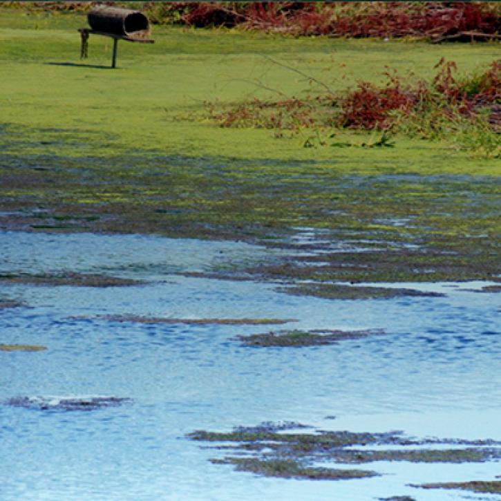
NASA Land Surface Models Capture Water Quality Trends in the Upper Mississippi Basin
StoryMap
Feb. 1, 2022

NASA Models Reveal Climate-Induced and Management Impacts on the Mississippi River Delta
StoryMap
Feb. 1, 2022
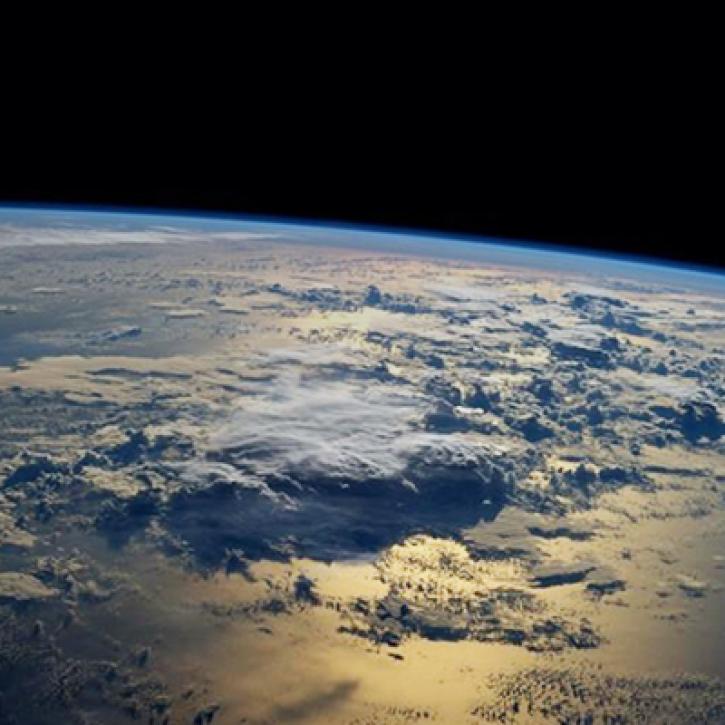
Integrating Data and Models Across the Full Water Cycle to Deliver Actionable Freshwater Information
StoryMap
Feb. 1, 2022
SHOWING 8 OF 67
Frequently Asked Questions
Earthdata Forum
Our online forum provides a space for users to browse thousands of FAQs about research needs, data, and data applications. You can also submit new questions for our experts to answer.
Submit Questions to Earthdata Forumand View Expert Responses