We are in the process of migrating all NASA Earth science data sites into Earthdata from now until end of 2026. Not all NASA Earth science data and resources will appear here until then. Thank you for your patience as we make this transition.
Read about the Web Unification Project
Cryosphere News
Articles, resources, and announcements from Cryosphere.

NASA Earth observation data contributed to the discovery of a previously unknown subpopulation of polar bears in Southeast Greenland.
Feature Article
June 23, 2022

The five new datasets are the result of a joint effort by NASA’s Satellite Needs Working Group Management Office (SNWG MO), ICESat-2 team, and Land, Atmosphere Near real-time Capability for EOS (LANCE).
Feature Article
May 19, 2022

Data from NASA’s NSIDC DAAC helps scientists like Dr. Kristin Poinar develop the next generation of models for forecasting sea-level rise from melting glaciers and ice sheets.
Data User Story
May 3, 2022
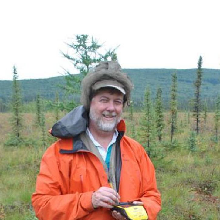
Remote sensing data help researchers measure change in the Alaskan landscape.
Data User Story
April 17, 2022
Data from NASA’s ORNL DAAC helps scientists like Dr. Kevin Schaefer detect climate-induced thawing of permafrost throughout the Arctic.
Data User Story
Jan. 31, 2022

Image captured on Dec. 11, 2021, by the MODIS instrument aboard the Terra satellite.
Worldview Image of the Week
Jan. 29, 2022

Image captured Dec. 20, 2021, by the VIIRS instrument aboard the joint NASA/NOAA NOAA-20 satellite.
Worldview Image of the Week
Dec. 21, 2021
Synthetic aperture radar (SAR) data is essential to projects that monitor the ice sheets of Greenland and Antarctica.
Data User Story
Oct. 10, 2021
SHOWING 8 OF 161