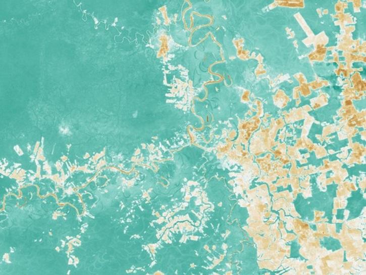
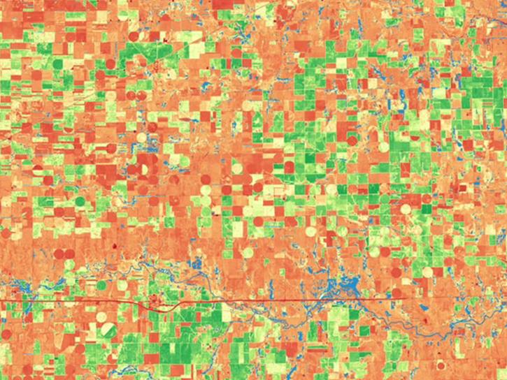
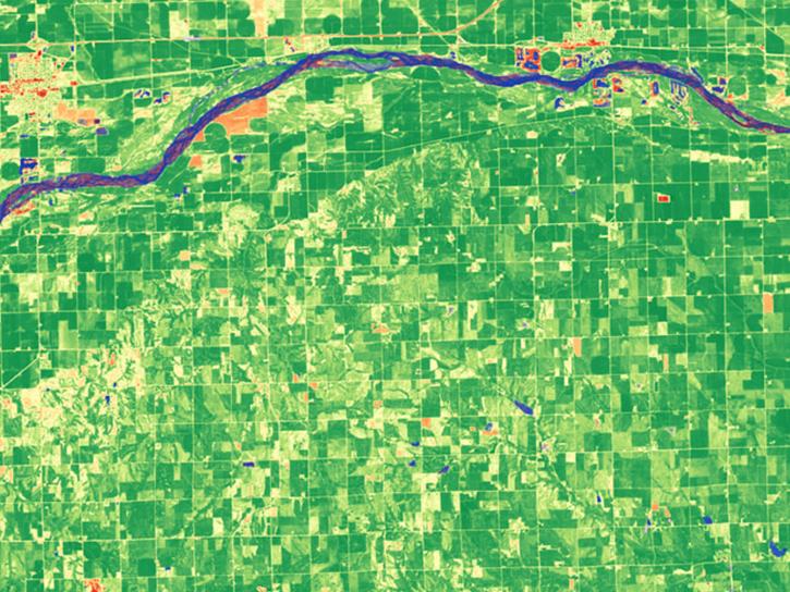
From discovery to visualization, data tools such as Worldview, Giovanni, and Application for Extracting and Exploring Analysis Ready Samples (AppEEARS) guide users in making the most of vegetation index data.
Vegetation Index Data Access and Tools
Vegetation Index Datasets
| Dataset Sort descending | Version | Platform | Instrument | Temporal Extent | Spatial Extent | Spatial Resolution | Data Format |
|---|---|---|---|---|---|---|---|
| VIIRS/NPP Vegetation Indices Monthly L3 Global 0.05Deg CMG V001 | 001 | Suomi-NPP | VIIRS | 2012-01-01 to 2024-04-30 |
N: 90 S: -90 E: 180 W: -180 |
5600 Meters x 5600 Meters | HDF-EOS5 |
| VIIRS/NPP Vegetation Indices Monthly L3 Global 0.05Deg CMG V002 | 002 | Suomi-NPP | VIIRS | 2012-01-01 to Present |
N: 90 S: -90 E: 180 W: -180 |
5600 Meters x 5600 Meters | HDF-EOS5 |
| VIIRS/NPP Vegetation Indices Monthly L3 Global 1km SIN Grid V001 | 001 | Suomi-NPP | VIIRS | 2012-01-01 to 2024-05-31 |
N: 90 S: -90 E: 180 W: -180 |
1000 Meters x 1000 Meters | HDF-EOS5 |
| VIIRS/NPP Vegetation Indices Monthly L3 Global 1km SIN Grid V002 | 002 | Suomi-NPP | VIIRS | 2012-01-01 to Present |
N: 90 S: -90 E: 180 W: -180 |
1000 Meters x 1000 Meters | HDF-EOS5 |
| VIIRS/NPP+JPSS Combined Vegetation Index and Snow Products from MAIAC Daily L3 Global at 0.05Deg CMG V002 | 002 | Suomi-NPP, NOAA-20 | VIIRS | 2012-01-19 to Present |
N: 90 S: -90 E: 180 W: -180 |
5600 Meters x 5600 Meters | HDF-EOS5 |
| VIIRS/NPP+JPSS1 BRDF Model Parameters Daily L3 Global 750m RSIN Grid V002 | 002 | Suomi-NPP, NOAA-20 | VIIRS | 2012-01-19 to Present |
N: 90 S: -90 E: 180 W: -180 |
750 Meters x 750 Meters | HDF-EOS5 |
| Woody and Herbaceous Vegetation Change across the Savannas of West Africa, 1982-2013 | 1 | MODELS | Computer | 1982-01-01 to 2013-12-31 |
N: 17.4148 S: 9.96476 E: 15.3068 W: -17.1432 |
multiple |
Harmonized Landsat Sentinel-2 (HLS)
Vegetation Index Data Tools
| Tool Sort descending | Description | Services | |
|---|---|---|---|
| AppEEARS | The Application for Extracting and Exploring Analysis Ready Samples (AppEEARS) offers a simple and efficient way to perform data access and transformation processes. | Search and Discovery, Subsetting, Customization, Downloading, Visualization | |
| Giovanni | Giovanni is a web application for accessing, visualizing, and analyzing Earth science remote sensing data without downloading the data. | Search and Discovery, Analysis, Access, Visualization, Downloading, Subsetting |
Get Help
QUESTIONS & SUPPORT
Get help with NASA Earth science data, datasets, tools, services, and metadata on the Earthdata Forum. Experienced staff in the data user community review and answer questions.
Get help on Earthdata ForumForum