We are in the process of migrating all NASA Earth science data sites into Earthdata from now until end of 2026. Not all NASA Earth science data and resources will appear here until then. Thank you for your patience as we make this transition.
Read about the Web Unification Project
Terrestrial Ecosystems News
Articles, resources, and announcements from Terrestrial Ecosystems.

Who uses NASA Earth science data? Dr. Nancy French, to study the effects of wildfires on forest ecosystems.
Data User Story
Dec. 22, 2020
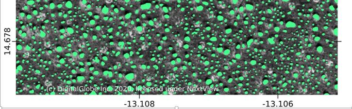
Using commercial satellite data and machine learning, scientists discovered a surprisingly large number of trees in Africa's drylands.
Feature Article
Nov. 19, 2020
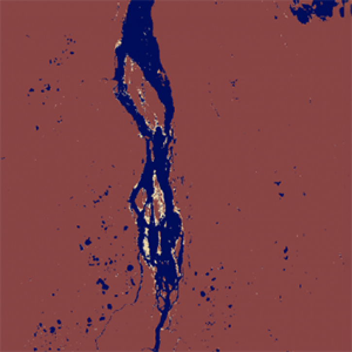
The dataset, which is part of NASA’s Arctic Boreal Vulnerability Experiment (ABoVE), enables comparisons of changes in surface water extent spanning 20 years.
Feature Article
Nov. 4, 2020
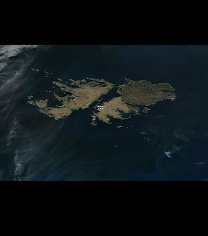
Image captured on 23 November 2019, by the VIIRS instrument, aboard the joint NASA/NOAA Suomi NPP satellite.
Worldview Image of the Week
Nov. 4, 2020
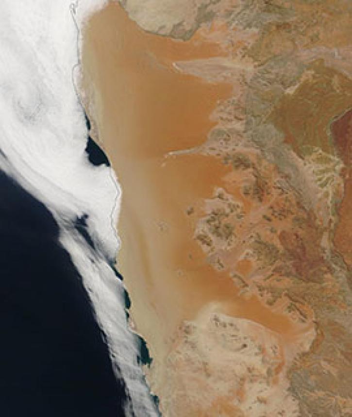
Image captured on 21 April 2019, by the MODIS instrument, aboard the Terra satellite
Worldview Image of the Week
Nov. 4, 2020
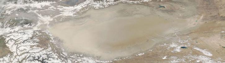
Image captured on 6 April 2018, by the MODIS instrument, aboard the Aqua satellite.
Worldview Image of the Week
Sept. 11, 2020
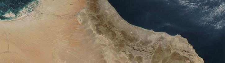
Image captured on 20 November 2016 by the MODIS instrument, aboard the Aqua satellite.
Worldview Image of the Week
Sept. 11, 2020
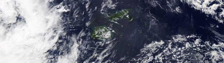
Image captured on 9 April 2017 by the MODIS instrument, aboard the Aqua satellite.
Worldview Image of the Week
Sept. 11, 2020
SHOWING 8 OF 36