We are in the process of migrating all NASA Earth science data sites into Earthdata from now until end of 2026. Not all NASA Earth science data and resources will appear here until then. Thank you for your patience as we make this transition.
Read about the Web Unification Project
Biosphere News
Articles, resources, and announcements from Biosphere.
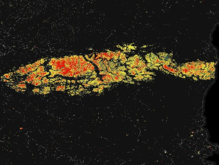
Image for May 8, 2025, derived from OPERA's Harmonized Landsat Sentinel-2 Land Surface Disturbance data.
Worldview Image of the Week
May 15, 2025
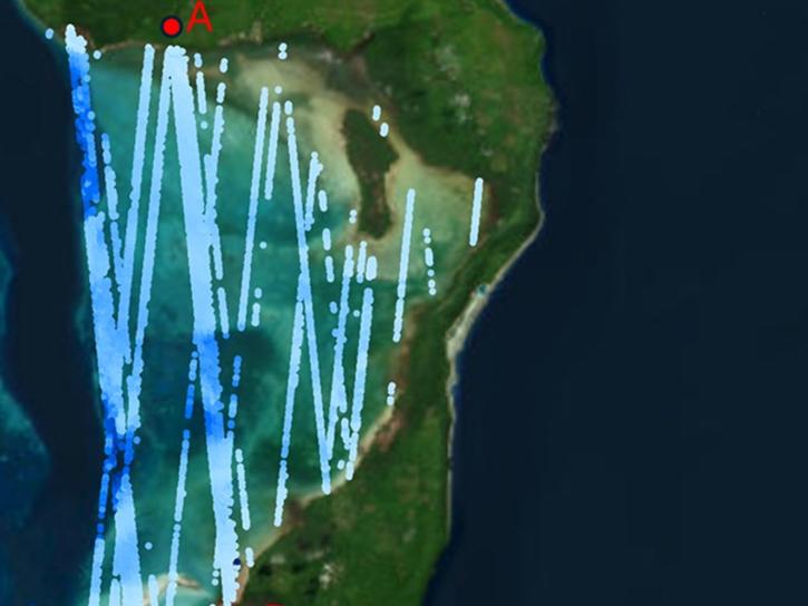
ATL24, a new space-based lidar product, provides bathymetry data that can be used to characterize nearshore habitats and create safer maritime transportation channels.
News
May 2, 2025
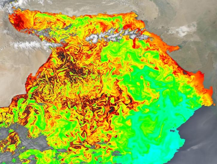
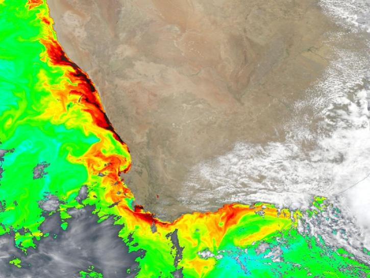
Image captured on Feb 15, 2025, by the OCI instrument aboard the PACE platform.
Worldview Image of the Week
Feb. 20, 2025

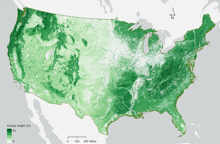
These new vegetation indices offer the same near-global coverage, and 30-meter spatial resolution as the initial HLS products.
News
Feb. 19, 2025
In the second ICESat-2 webinar, learn how to work with land and vegetation height data. A live demonstration will showcase the SlideRule Earth web service which provides on-demand science data processing.
Webinar
Jan. 31, 2025
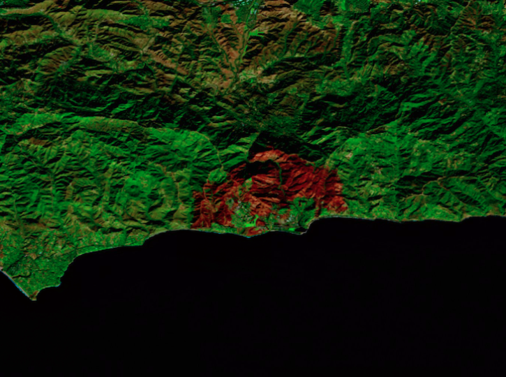
Image captured on Dec 18, 2024, by the MSI instrument aboard ESA's Sentinel-2B platform.
Worldview Image of the Week
Dec. 20, 2024

This is the first in a five-part webinar series to introduce NASA's Ice, Cloud, and land Elevation-2 (ICESat-2) platform and the platform's data, tools, and applications.
Webinar
Oct. 28, 2024
Dark colors indicate high chlorophyll concentrations in this image captured on Oct 22, 2024, by the Ocean Color Instrument (OCI) instrument.
Worldview Image of the Week
Oct. 25, 2024
SHOWING 8 OF 277