We are in the process of migrating all NASA Earth science data sites into Earthdata from now until end of 2026. Not all NASA Earth science data and resources will appear here until then. Thank you for your patience as we make this transition.
Read about the Web Unification Project
Chlorophyll Data Access and Tools
From discovery to visualization, data tools such as Earthdata Search, Panoply, and SeaDAS guide users in making the most of chlorophyll data.
Chlorophyll Datasets
| Dataset Sort descending | Version | Platforms | Instruments | Temporal Extent | Spatial Extent | Spatial Resolution | Data Format |
|---|---|---|---|---|---|---|---|
| ENVISAT MERIS Level-4 Global Mapped Garver-Siegel-Maritorena Model (GSM) Data, version 2022.0 | 2022.0 | ENVISAT | MERIS | 2002-03-21 to 2012-05-09 |
N: 90 S: -90 E: 180 W: -180 |
netCDF-4 | |
| Global High-Resolution Estimates of SIF from Fused SCIAMACHY and GOME-2, V2 | 2 | METOP-A | GOME-2, SCIAMACHY | 2003-01-01 to 2017-12-31 |
N: 90 S: -90 E: 180 W: -180 |
netCDF-4 | |
| High Resolution Global Contiguous SIF Estimates from OCO-2 SIF and MODIS, Version 2 | 2 | Terra, Aqua, MODELS, OCO-2 | MODIS, Computer, SPECTROMETERS | 2014-09-01 to 2020-07-31 |
N: 90 S: -90 E: 180 W: -180 |
netCDF-4 classic | |
| High Resolution Land Cover-Specific Solar-Induced Fluorescence, Midwestern USA, 2018 | 1 | MODELS, Sentinel-5P, Aura | Computer, TROPOMI, MODIS | 2018-05-02 to 2018-09-23 |
N: 49.9375 S: 34.9792 E: -77.9792 W: -110.021 |
netCDF-4 | |
| HYCOM Global Mapped Eulerian and Lagrangian Oceanography and Ecology Variables Data, version 1 | 1 | MODELS | Computer | 2000-01-01 to 2009-12-31 |
N: 90 S: -90 E: 180 W: -180 |
netCDF-4 | |
| Indicators of Coastal Water Quality: Ancillary Data | 1.00 | MODELS | Computer | 1998-01-01 to 2007-12-31 |
N: 90 S: -90 E: 180 W: -180 |
Grid, Shapefile | |
| Indicators of Coastal Water Quality: Annual Chlorophyll-a Concentration 1998-2007 | 1.0 | OrbView-2 | SeaWiFS | 1998-01-01 to 2007-12-31 |
N: 89.99928 S: -90 E: 179.99856 W: -180 |
0.008333 Decimal Degrees x 0.008333 Decimal Degrees | Grid, GeoTIFF |
| Indicators of Coastal Water Quality: Change in Chlorophyll-a Concentration 1998-2007 | 1.0 | OrbView-2 | SeaWiFS | 1998-01-01 to 2007-12-31 |
N: 90 S: -90 E: 180 W: -180 |
Excel, CSV, PDF, PNG, WMS | |
| ISS HICO Level-2 Regional Ocean Color (OC) Data, version 2018.0 | 2018.0 | ISS | HICO | 2009-09-25 to 2014-09-13 |
N: 90 S: -90 E: 180 W: -180 |
netCDF-4 | |
| L2 Daily Solar-Induced Fluorescence (SIF) from ERS-2 GOME, 1995-2003 | 1 | ERS-2 | GOME | 1995-07-01 to 2003-06-22 |
N: 85.42 S: -84.3661 E: 180 W: -180 |
multiple |
SHOWING 10 OF 144
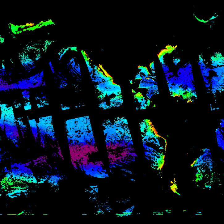
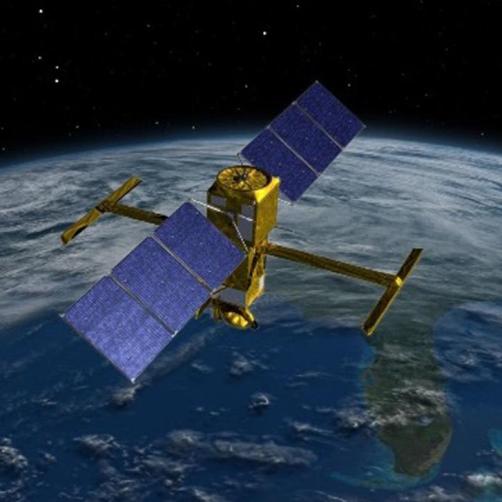
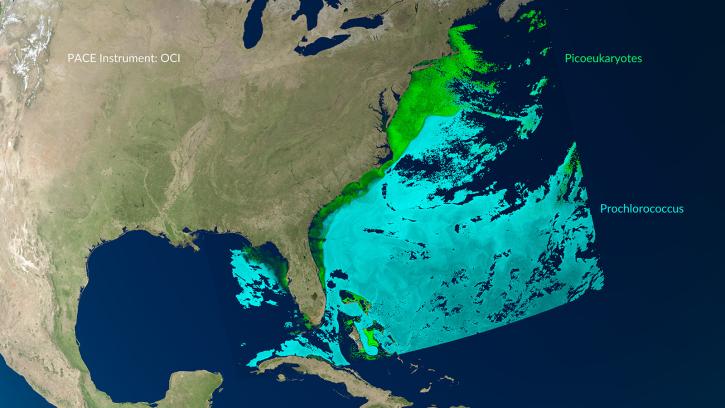
Featured Water Quality Observation Method: PACE
NASA's Plankton, Aerosol, Cloud, ocean Ecosystem (PACE) platform measures the distribution of phytoplankton, a key indicator of ocean health. Aboard PACE is the Ocean Color Instrument (OCI), a highly advanced optical spectrometer used to measure substances or particles present in seawater such as chlorophyll, a green pigment found in most phytoplankton species. Monitoring global chlorophyll and phytoplankton distribution and abundance help us better understand water quality and the complex systems that drive ocean ecology.
Simulated data help Plankton, Aerosol, Cloud, ocean Ecosystem (PACE) users prepare a day in the life of the new satellite.
6 MIN READ
Careful calibration and validation ensure that the Surface Water and Ocean Topography mission will provide the best data possible.
7 MIN READ
A series of Jupyter notebook tutorials show how to retrieve and use data from NASA's Plankton, Aerosol, Cloud, ocean Ecosystem (PACE) mission.
Chlorophyll Data Tools
| Tool Sort descending | Description | Services | |
|---|---|---|---|
| STREAM | STREAM is a rapid water quality monitoring tool that processes satellite imagery to create maps showing chlorophyll-a, Total Suspended Solids, and water clarity at 20-30 meter resolution. | Processing |
SHOWING 1 OF 1
Frequently Asked Questions
Earthdata Forum
Our online forum provides a space for users to browse thousands of FAQs about research needs, data, and data applications. You can also submit new questions for our experts to answer.
Submit Questions to Earthdata Forumand View Expert Responses